
Alberta Ride
Edmonton to Jasper - The Long Way
Day 1 - May 12, 2007
The previous week, I'd been contemplating taking a ride on the weekend but kept trying to decide on whether I would ride for one day or both. I'd thought of posting on the Adventure Rider forum to see if anyone else was up for a ride, but simply didn't get around to it. Anyways, by Friday afternoon I had decided to ride both days, and planned a route that would have me taking the Forestry Trunk Road south from Nordegg to Hwy 1A east of Cochrane, and then on to Banff. The next morning, I planned to take Hwy 1A north to Lake Louise (Bow Valley Parkway), and then continue north on Hwy 93 (Icefields Parkway) to Hwy 11, head east to Rocky Mountain House and back to Edmonton.
The plans sounded great, but I decided to check the weather Saturday morning before heading out, and the forecast for Banff was showing the possibility of snow for Saturday evening. So at the last minute, I changed my plans. I decided to take a long route to Jasper instead. The short route is to take Hwy 16 directly east from Edmonton, but I decided to take a longer and more enjoyable route instead (which would take me on a different part of the Alberta Forestry Trunk Road then originally planned).
I headed east out of Edmonton on Stony Plain Road, south on Hwy 60, and then east again on Hwy 39 towards Drayton Valley. From Drayton Valley, I took Hwy 620 southwest towards Lodgepole, and stopped for gas. It's a rather old-fashioned gas station with two pumps (1 for gas and 1 for diesel). The pump can't register any price more than 99.9 cents per liter, so the pump is priced at half price (57.5 cents per liter) and then you pay double whatever the pump says.
| Gas Station in Lodgepole |
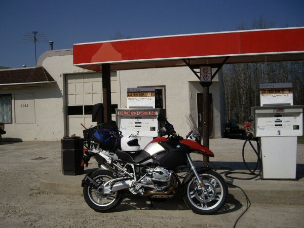 |
| Quick Stop at the Brazeau Reservoir |
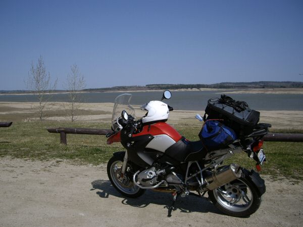 |
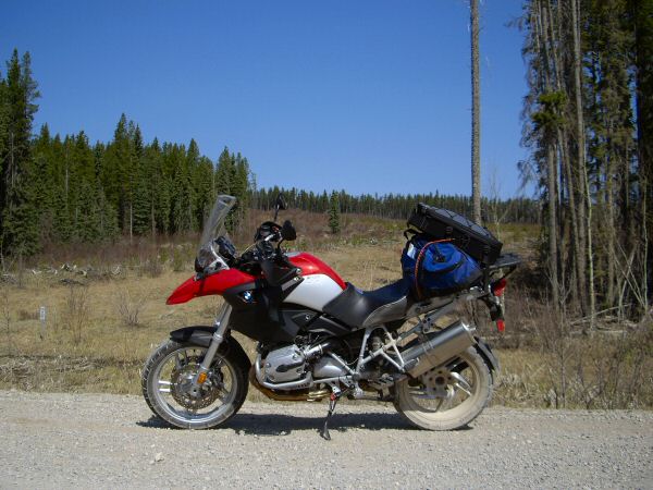
From Lodgepole, I continued south on Hwy 620 and made a quick stop at the Brazeau Reservoir. The water level is pretty low, as much of the snow has yet to melt from the mountains. From the reservoir, I had to backtrack just a few miles to Elk River Road which would take me east to the Forestry Trunk Road. Just before reaching Elk River Road, I saw a solitary wolf crossing the road. It moved away much to fast for me to get my camera out, but it definitely looked like a wolf. I later saw coyotes as well while riding on the Elk River Road.
The Elk River Road is a dirt and gravel road that runs west from south of Lodgepole to the Forestry Trunk Road that traverses much of Alberta from north to south in the foothills of the Canadian Rockies. It's primarily a service road for the the logging and oil/gas industries, but is also used by the occasional recreationist to reach the Elk River Provincial Recreation Area. I find it to be a fun and scenic ride on the GS, and one which I've done before.
| Looking west on the Elk River Road |
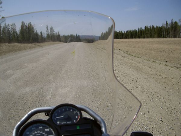 |
| Looking back east on the Elk River Road |
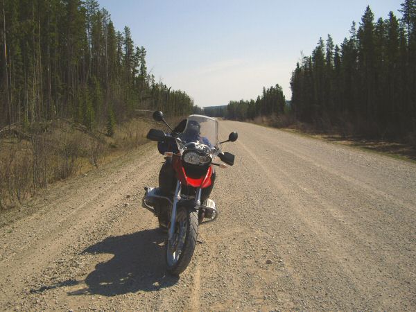 |
| Looking north from Elk River Road |
 |
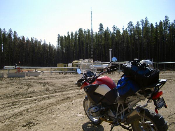
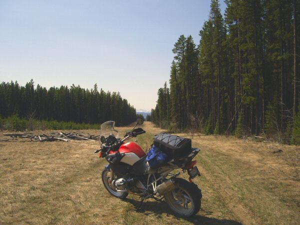
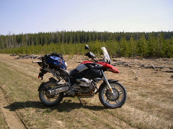
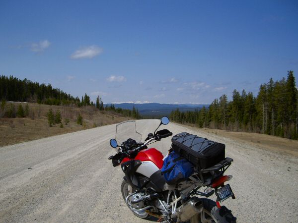
Elk River Road has several interesting sites along its length. There are many areas of logging, with large areas either barren from the logging operations or with flattened trees awaiting pickup from the many logging trucks traversing the road. There's also areas that have been replanted with various ages of young trees. Pipeline pump stations and heating stations appear at various spots. Heading west, eventually the white slopes of the Rockies come into view.
| Pipeline Pumping Station along Elk River Road |
 |
| Spur Trail off of Elk River Road |
 |
| Area of Recent Replanting |
 |
| The Rockies in the distance |
 |
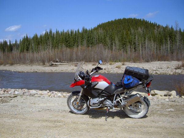
Eventually, I reach the intersection with the Forestry Trunk Road. Alberta's Forestry Trunk Road stretches north to south in the foothills of the Canadian Rockies. For some strange reason, it's marked with various highway numbers along it's length (Hwy 40, or 734, or 940). At the intersection with Elk River Road, I believe it's known as Hwy 734 and it runs alongside the Pembina River.
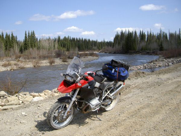 |
| Pembina River |
 |
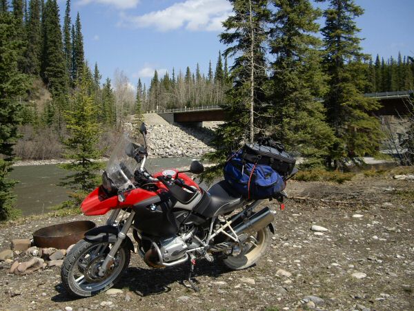
I head south on the Forestry Trunk Road towards Nordegg, and soon cross the Elk River.
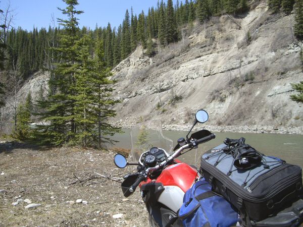 |
| Elk River off the Forestry Trunk Road |
 |
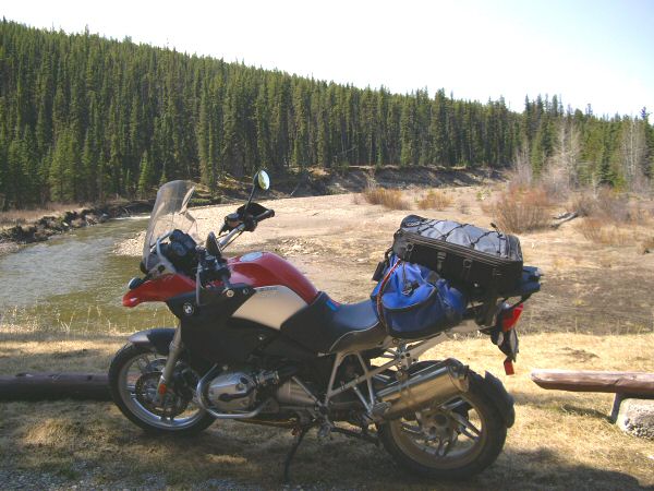
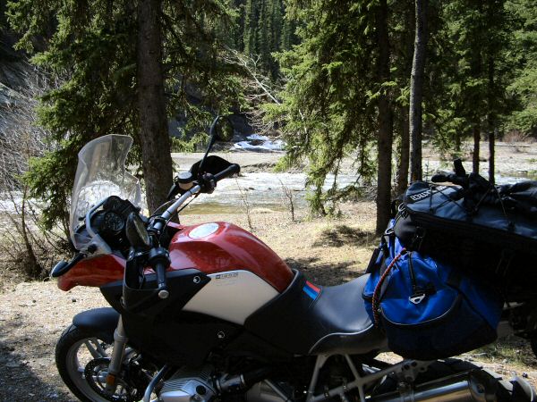
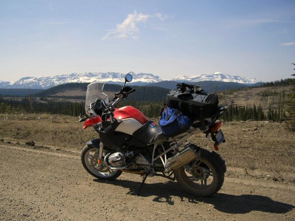
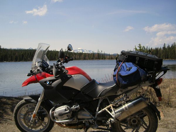
The Forestry Trunk Road is another (primarily dirt and gravel) service road for industry, but also has access to many camping and recreational areas. Riding south, I pass both the Brazeau River and Brown Creek Recreational Areas. Surprisingly, on this beautiful weekend, both campsites are empty.
| At Brazeau River Recreational Area |
 |
| Brown Creek Recreational Area |
 |
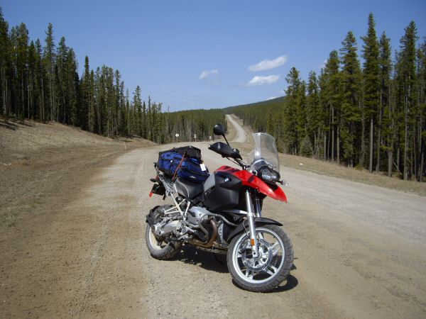
Continuing south, I enjoy the ride and stop frequently to take pictures. Although I pass the occasional car, truck, or ATV, I appear to be the only motorcyclist on the road today.
| Along the Forestry Trunk Road |
 |
 |
 |
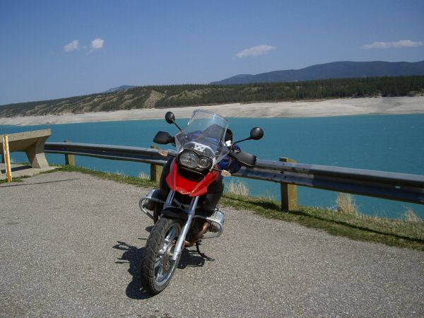
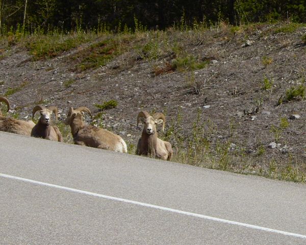
Eventually, I reach Hwy 11, and gas up and eat lunch in Nordegg; before heading west towards the Rockies. It's all pavement now, and I now see many other motorcycles on the road. Before long, Abraham Lake comes into view. It's a beautiful, glacier fed lake with an emerald sheen to its waters. Just past Abraham Lake, I take note of the mountain sheep grazing just at the highway's edge.
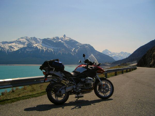 |
| Abraham Lake |
 |
| Bighorn Mountain Sheep |
 |
| On Hwy 11, getting closer to the Rockies |
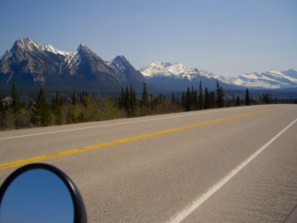 |
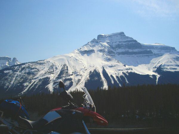
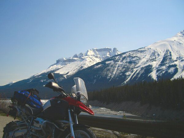
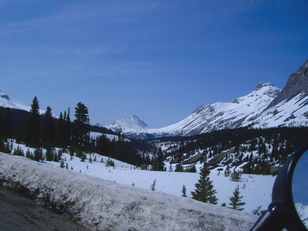
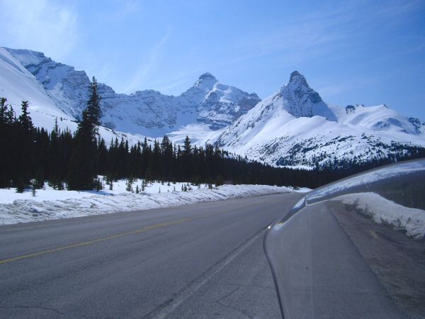
Still heading west, I soon reach Hwy 93 (also known as the Icefields Parkway), and turn north towards Jasper. I'm definitely in the Rockies now, and the mountains are majestic. The upper elevations have still been getting snow on a regular basis, and they're glistening white.
| Along the Icefields Parkway (Hwy 93) towards Jasper |
 |
 |
 |
 |
I roll into Jasper just after 5:00pm, get gas, and find a motel for the night (the Maligne Lodge). I eat dinner at the Buckles Saloon attached to the motel, while watching the Hockey playoffs on TV.
Tomorrow, I ride back to Edmonton.
