
BC Big Trailie Ride 3
June 18-22, 2008
ManxMan, DR650BC with help from Canuck (all inmates from the Adventure Rider Forum) once again organized another informal ride, suitable for the large dual-sport bikes, through Southern British Columbia. It was a great chance to meet up again with friends from last year, and the opportunity to meet many new friends this year as a group of close to 30 riders met up in Merritt, BC on Thursday afternoon, June 19.
My ride started on June 18, as I left Camas, Washington to head north. I had some extra time and decided to head up into BC a day early, and get some riding in on my own. This year's ride was another great experience!
June 18 - The PreRide
I started out from my home in Camas at about 9:00am, and was soon heading north from Orchards on Hwy 503 towards the Swift Reservoir. My original plan was to take Hwy 25 north from the Swift Reservoir (on the east side of Mt. St. Helens) towards Randle, and included a few side trips on some dirt routes while heading north.
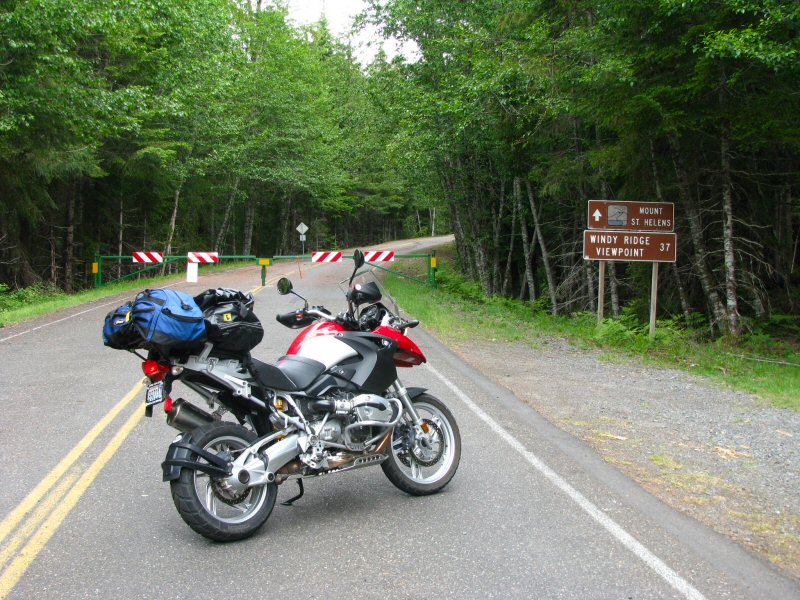
Unfortunately, as I was nearing Hwy 25 I saw a sign indicating that it was closed due to snow. Not having been on this route before, I was sure that the sign was a mistake and had simply not been taken down yet (after all, this is mid-June). Well, I was wrong and finally faced the gate on Hwy 25 which confirmed that the road was still closed; so I backtracked to NF-90, the road on the north side of Swift Reservoir, and continued heading east. I then took Hwy 30 (the Wind River Highway) towards Carson and Hwy 14.
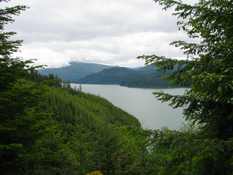 |
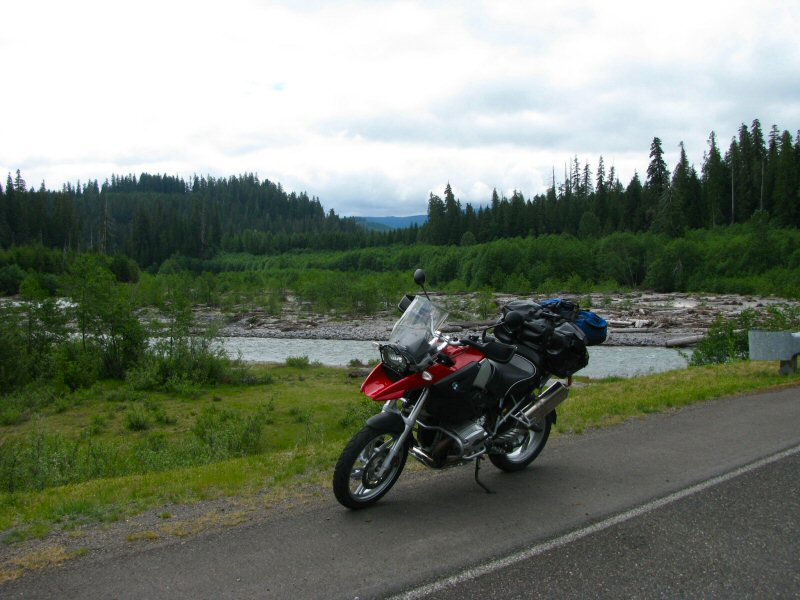
| The Swift Reservoir (south of Mt. St. Helens) |
 |
 |
 |
 |
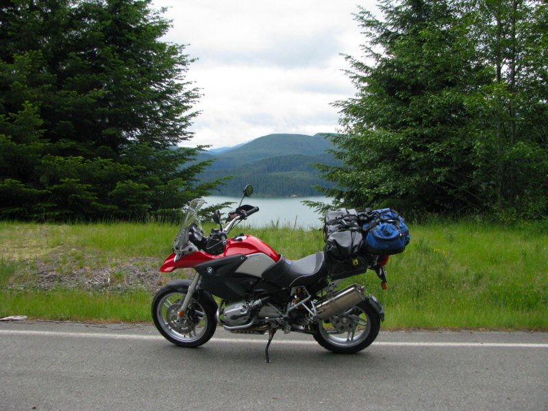
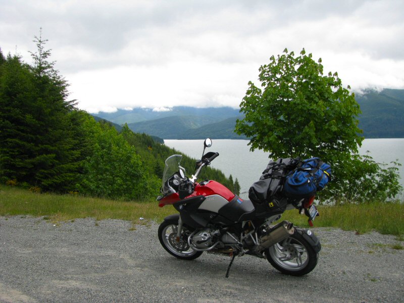
| Heading north on Hwy 25 (for a little while at least) |
 |
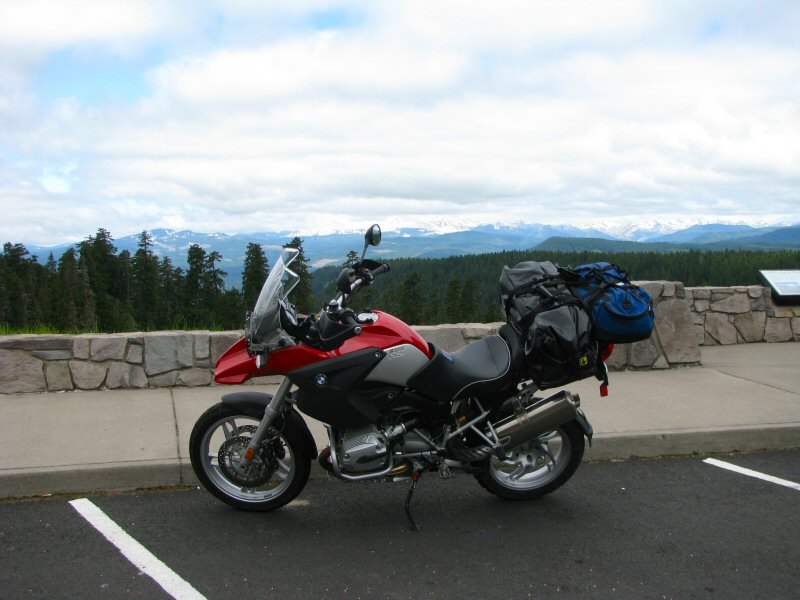 |
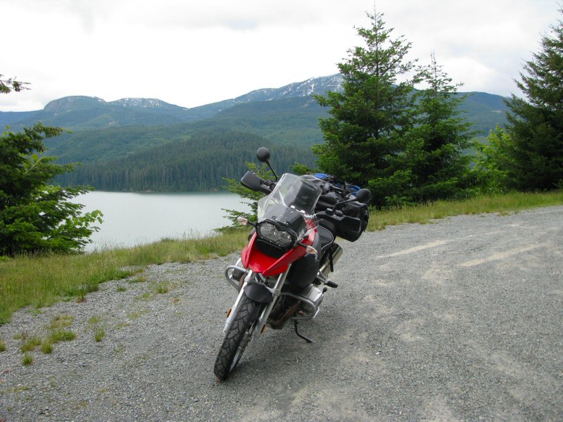
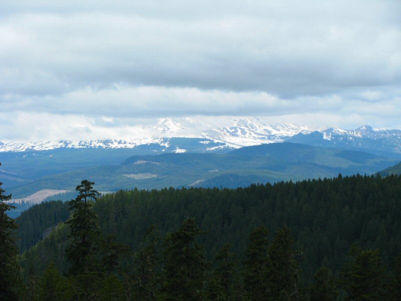
| Viewpoint looking towards Mt. St. Helens (hidden in the clouds) |
 |
Once on Hwy 14, on the north side of the Columbia River, I headed east with my plans now changed to take Hwy 97 north towards Canada. Just before Lyle, I took Hwy 142 northeast towards Goldendale. This was a great little twisty highway, that follows the Klickitat River (a tributary of the Columbia River) as it rises into the Cascades.
At Goldendale, I headed north on Hwy 97, passing through Yakima and then stopping in Ellensburg for lunch. After lunch, I continued north on Hyw 97 to Wenatchee, and then split off on Hwy 97A, which heads north on the west side of the Columbia River and Lake Entiat, and allows a view of the south side of Lake Chelan. Just north of Chelan, Hwy 97A merges back with Hwy 97 and then passes through Okanagan and Omak. I pass through the Canadian border just north of Oroville, and then find a motel for the night in Osoyoos, BC.
After having to take a detour from my planned route in the morning, I didn't take any additional pictures after those shown above and I didn't get the chance to ride dirt either. But I'm now in BC, and dirt roads are on the schedule for tomorrow.
June 19 - More PreRide
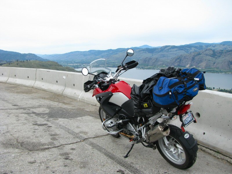
After waking up and grabbing a quick shower, I grabbed a quick muffin for breakfast and then hit the road around 8:00am. The plans are to try and hit some dirt that I've ridden before, and some I haven't. I headed east on Hwy 3 (Crowsnest Highway), leaning the bike into the turns on the climb up Anarchist Mountain just outside of Osoyoos. I stopped at the viewpoint near the top to grab a view of the valley and take a few pics.
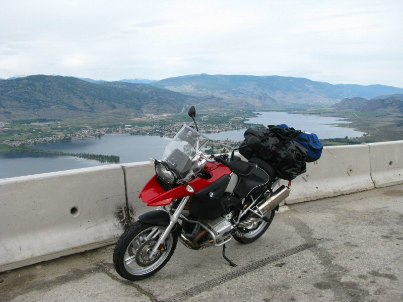 |
| From the Viewpoint above Osoyoos |
 |
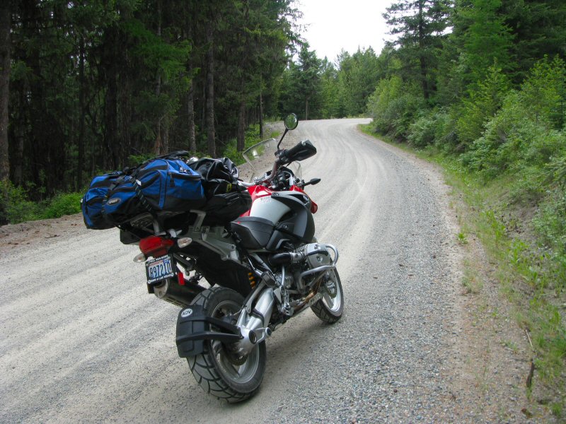
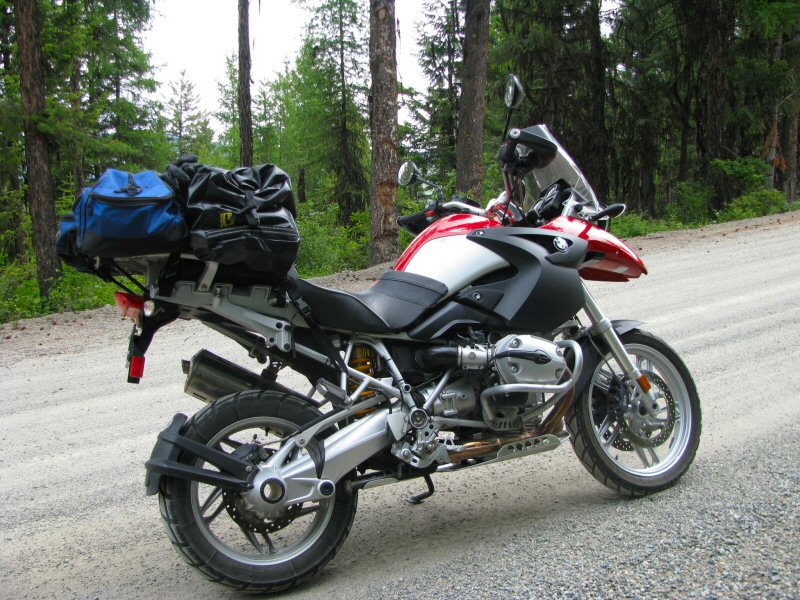
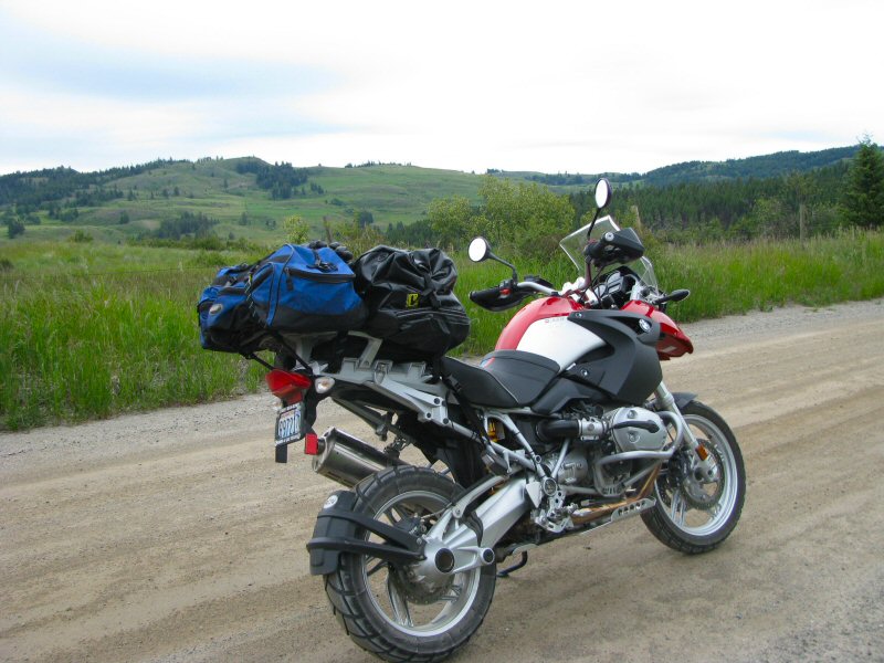
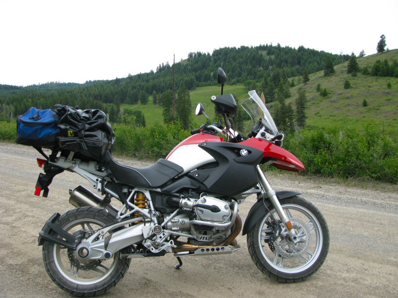
From here, I continued on Hwy 3 towards Bridesville, and then turned off south on the Rock Creek - Bridesville Road. This is a fun dirt road that we rode last year on BC-BTR2. It winds through some trees and farmland, and passes just north of the US-Canada border.
 |
| Along the Rock Creek-Bridesville Road |
 |
 |
 |
 |
| In the next picture, my bike is pointing towards the Mt. Baldy Ski Area (next stop) |
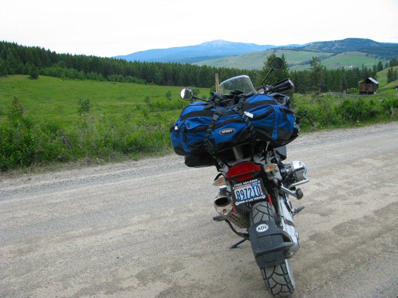 |
Reaching Rock Creek, I jump on Hwy 3 now heading west back towards Osoyoos. Just east of Bridesville, I take the Mt. Baldy Ski Hill Road north. This is a fun gravel road heading into the hills and towards the ski area that I could see in the distance from the Rock Creek - Bridesville Road. It's about a 15 mile (25 km) ride to get to the (closed for the summer) ski area. I took a photo by the Mt. Baldy Ski Area sign, and then backtracked a few kilometers to the junction of the Mt. Baldy Ski Hill Road and the Camp McKinney Road. I took the latter heading west towards Oliver.
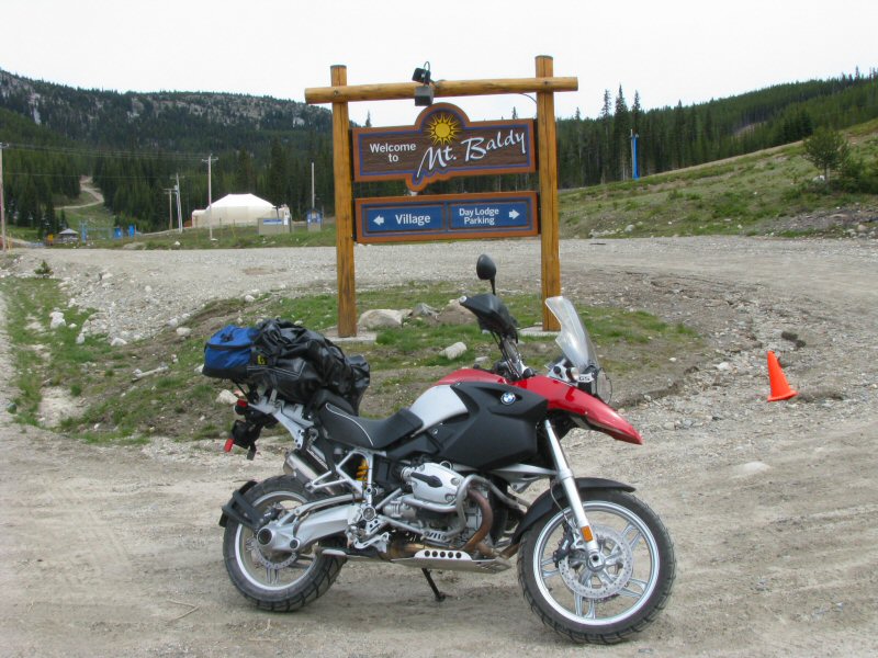 |
| Pictures at the Mt. Baldy Ski Area |
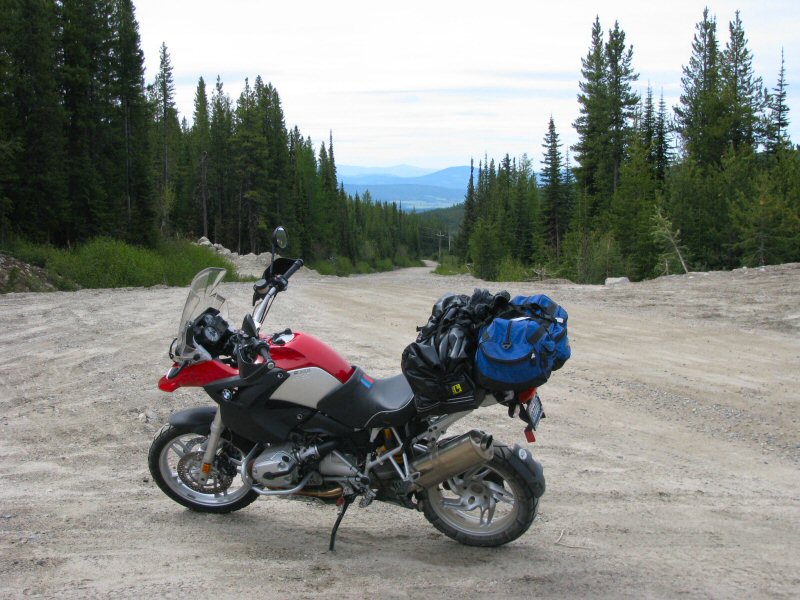 |
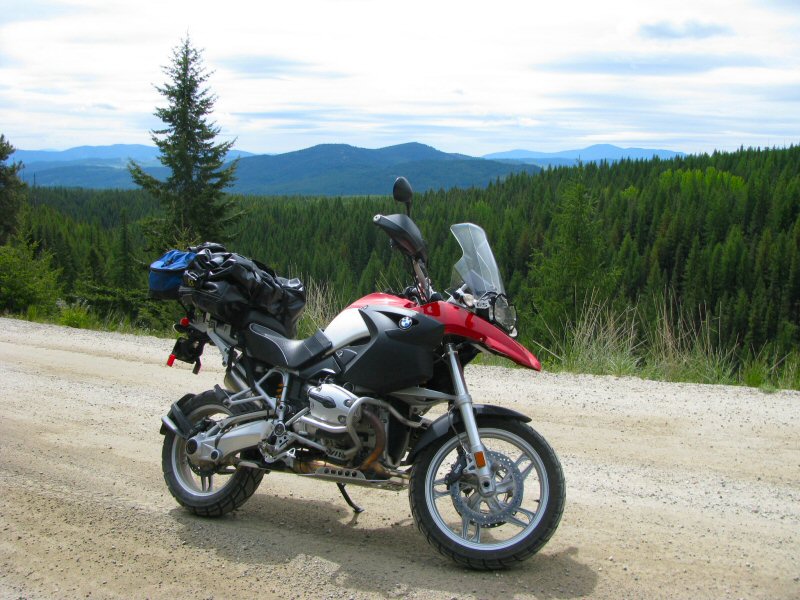
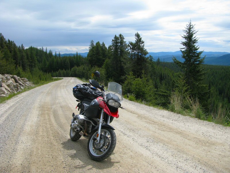
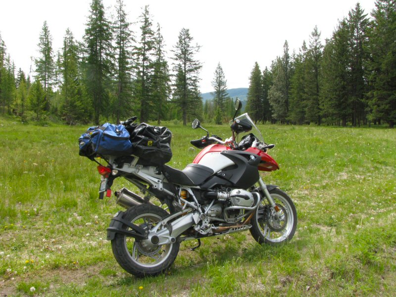
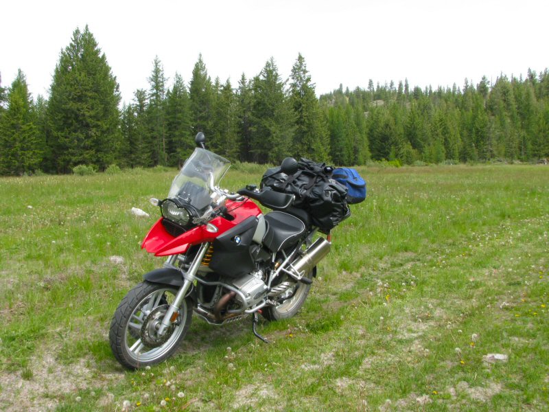
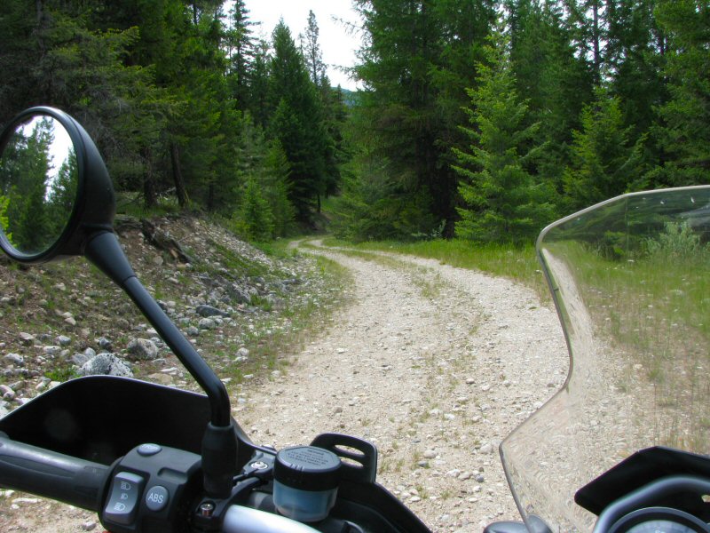
The Camp McKinney Road is very similar to the Mt. Baldy Ski Hill Road - a wide gravel road with occasional dirt sections. It also has a few dirt spur roads, and I took one of them ending up in a beautiful meadow and a chance to grab a break for a drink of water.
| The Camp McKinney Road |
 |
 |
 |
 |
 |
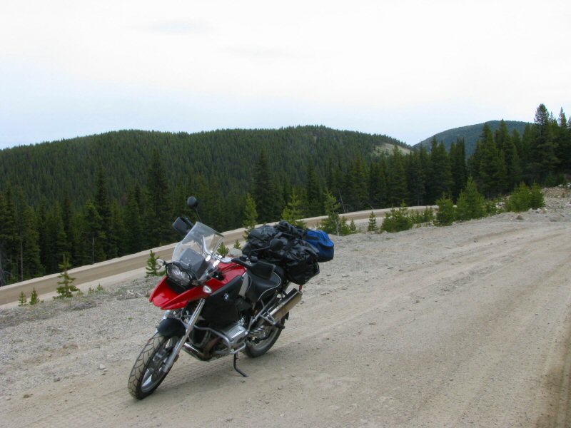
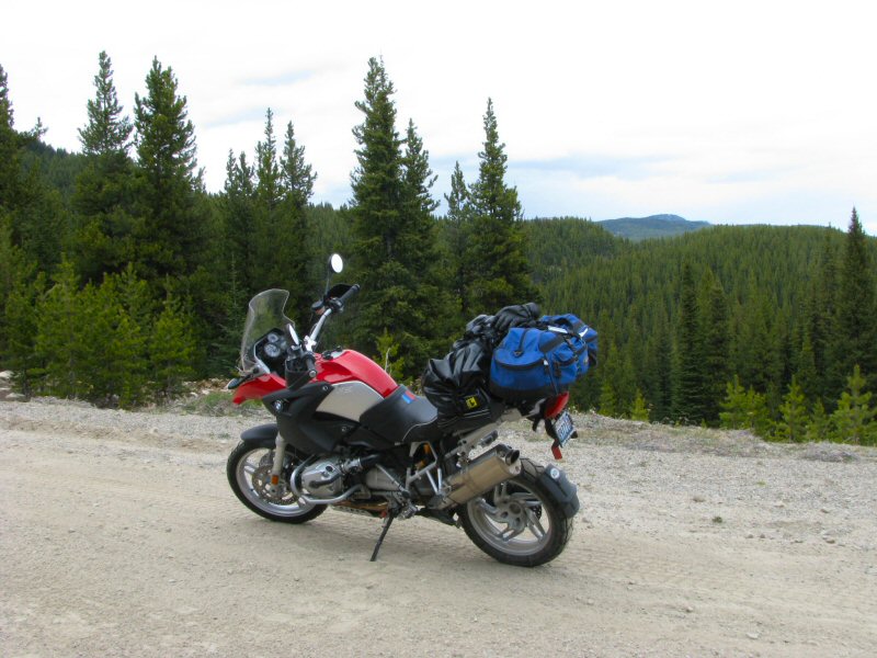
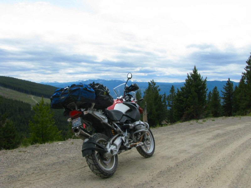
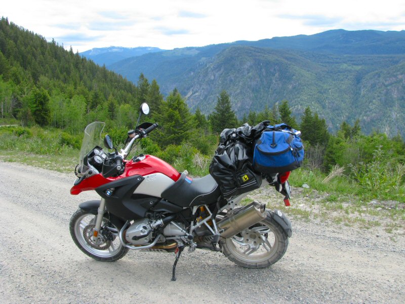
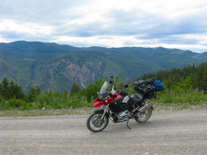
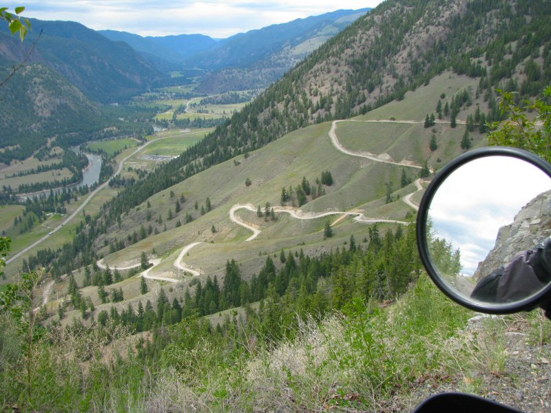
I followed the Camp McKinney Road all the way into Oliver, and stopped for lunch at Murphy's Pub and Grill. After a beef dip sandwich, I headed north on Hwy 97 into Penticton, and then took Apex Mountain Road heading east. The Apex Mountain Road is paved heading into the Apex Mountain Ski Area. Just past the ski area, it turns into the gravel Nickel Plate Road up to the Nickel Plate Mine; and finally turns into a winding dirt road that heads down the mountain to Hwy 3 just east of Hedley.
| Apex Mountain Road |
 |
 |
 |
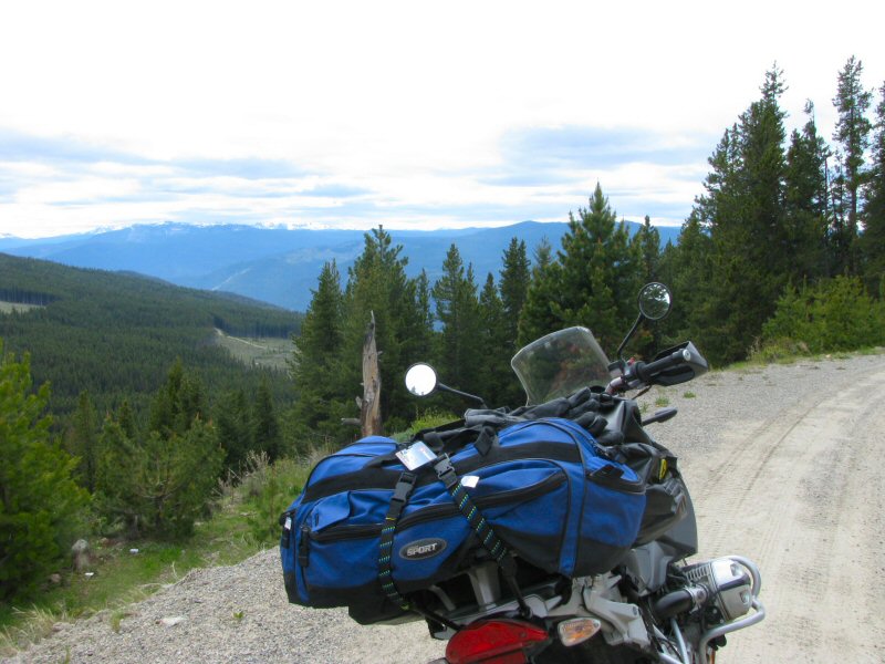 |
| The Nickel Plate Road |
 |
 |
 |
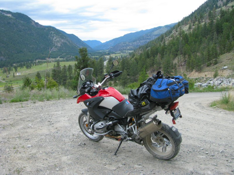 |
After winding down the Nickel Plate Road, I stopped in Hedley for gas and then continued east to Princeton. I then took Hwy 5A north, and arrived at the Super 8 Motel in Merritt at about 3:00pm. There were a few bikes already there when I arrived, and more came in throughout the night. Several of us went to the pub down the street for dinner, but it was a fairly early night as it was a 8:00am start in the morning.
