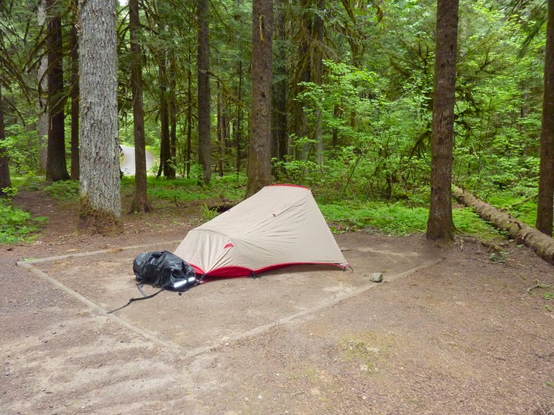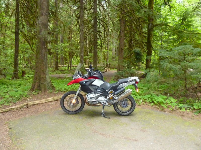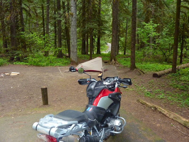
Gifford Pinchot National Forest
June 4-6, 2009
I had originally planned to meet a large group of inmates from the Adventure Rider Forum at Hells Canyon State Park in Lewiston, ID for a group ride into Hells Canyon, but a work assignment came up that required that I leave for Calgary on the weekend, and I just didn't have the time to ride to Hells Canyon and back. All my camping gear was ready though, so I decided to take a ride into the Gifford Pinchot National Forest for a few days of riding and camping, which would still allow me to get back home on Saturday and get packed for my trip to Calgary.
Thursday, June 4, 2009
I spent Wednesday evening getting my gear packed into my dry bags, and then loaded the bike first thing Thursday morning and was on the road by about 8:30am. I decided to head east from my home in Camas to Washougal River Road, and then north to where the pavement ends at Dougan Creek. Then I took State Road 1200 which heads northwest through the Yacolt Burn State Forest.
Along State Road 1200
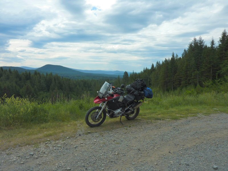
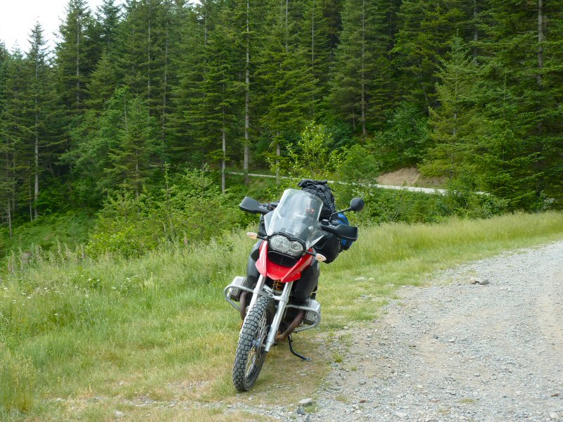
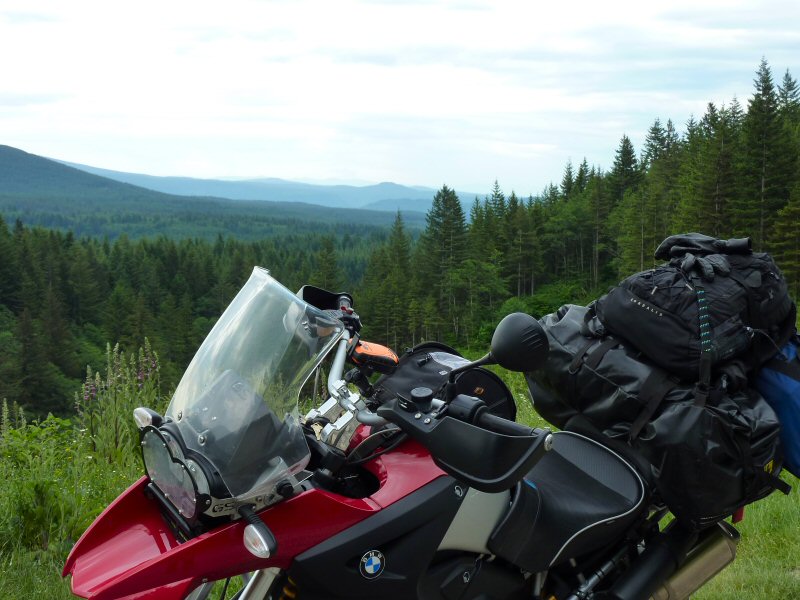
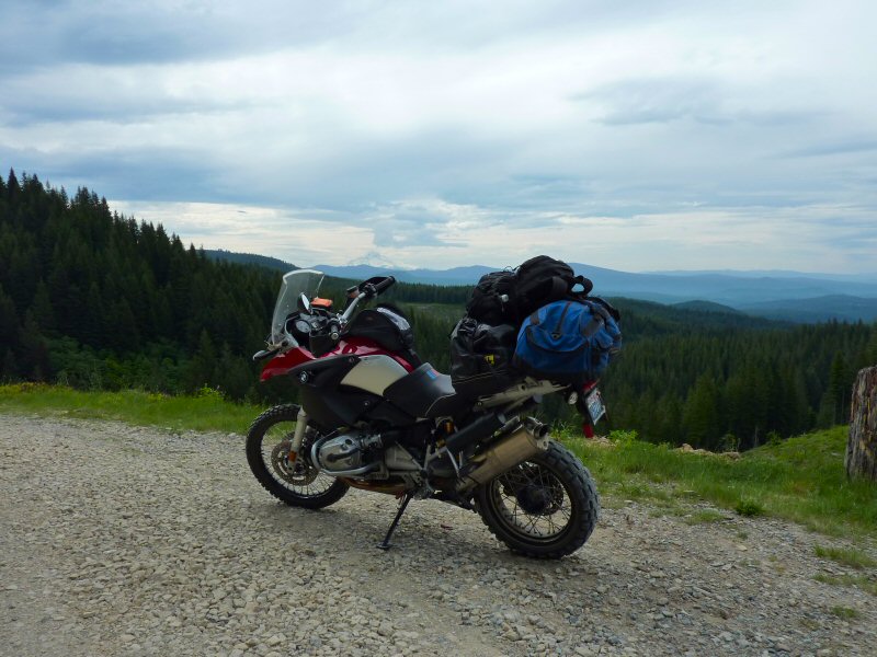
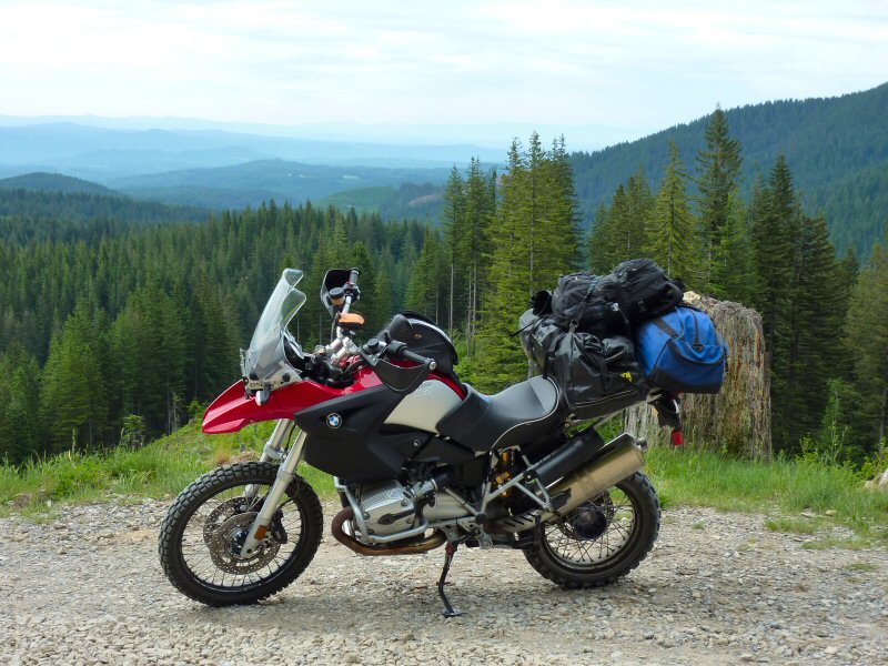
Mt. Hood is barely visible in the distance
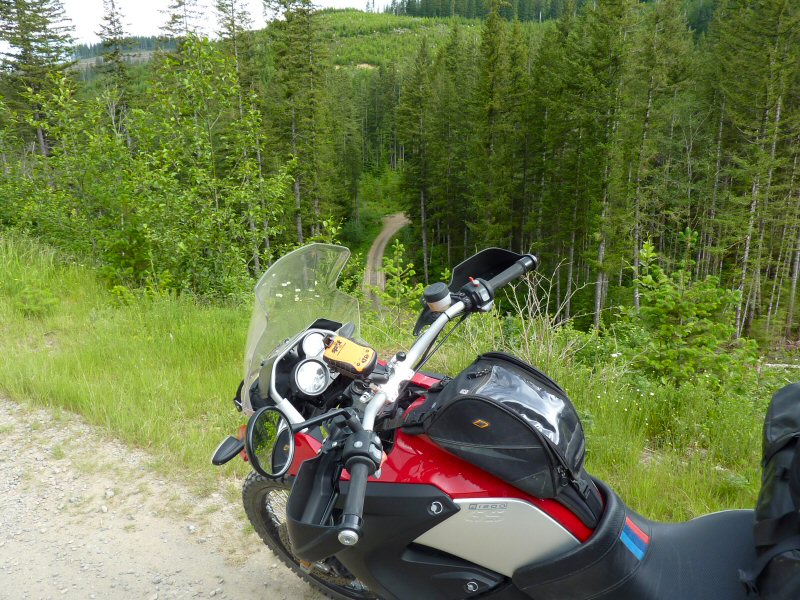
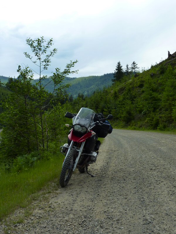
State Road 1200 ends at an intersection with State Road 1000, and I head north and SR1000 becomes Dole Valley Road.
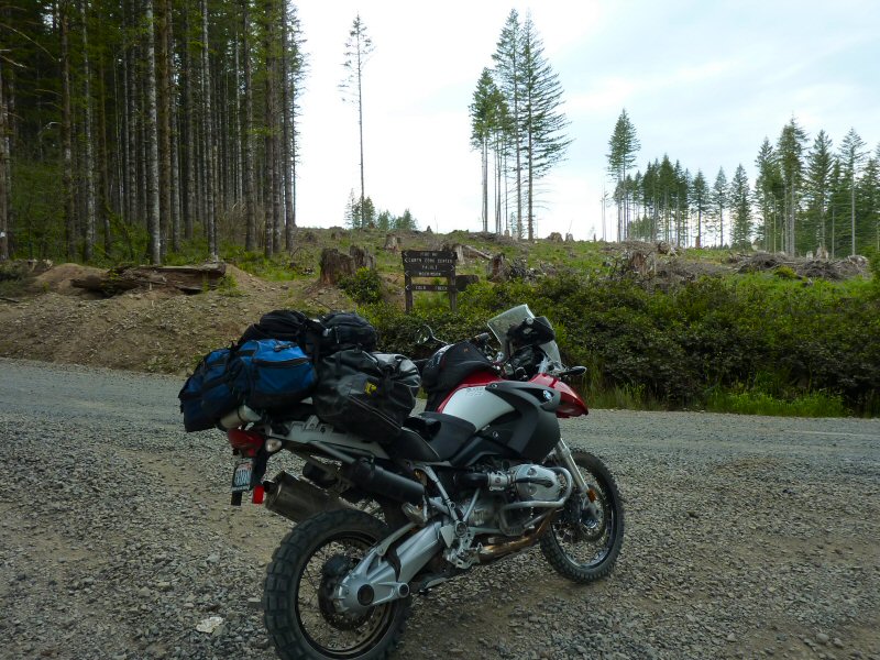
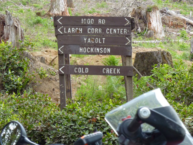
I turned right on Sunset Falls Road and headed east towards Sunset Campground, which is at the edge of the Gifford Pinchot National Forest. At Sunset Campground, I take Forest Road 41 heading south and then east into the GPNF.
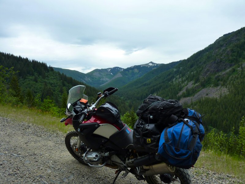
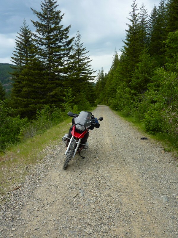
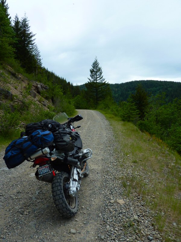
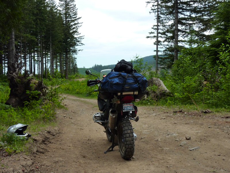
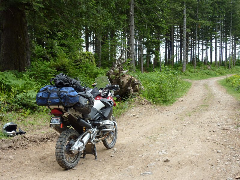
After stopping to adjust my bag that had started slipping, I continued east towards Lookout Mountain.
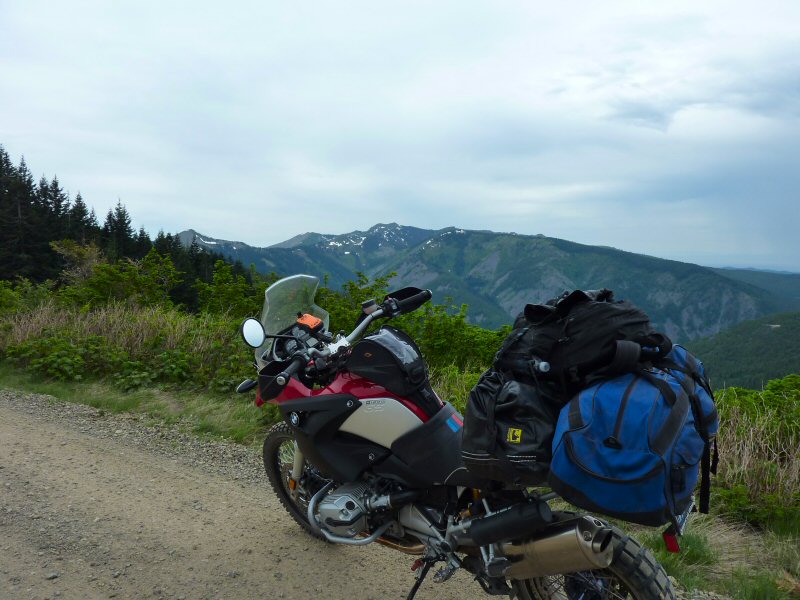
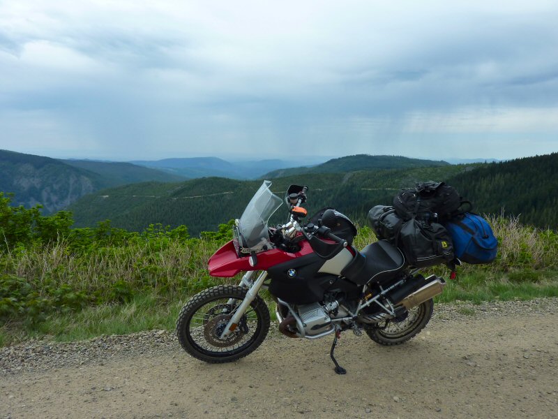
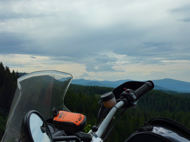
From the intersection with a spur trail to Lookout Mountain, you can view Mt. Hood in the distance.
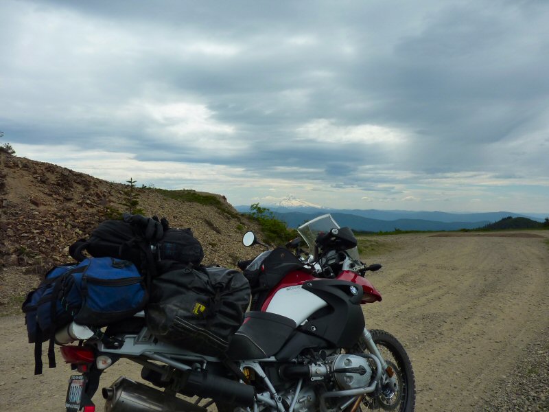
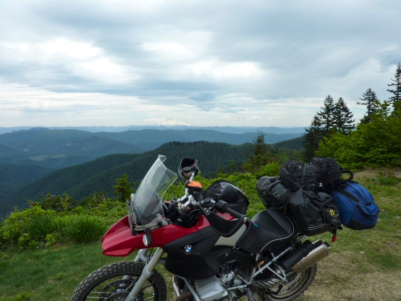
From Lookout Mountain, I continued east on FR 41, then north and east on FR 43.
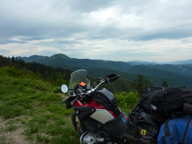
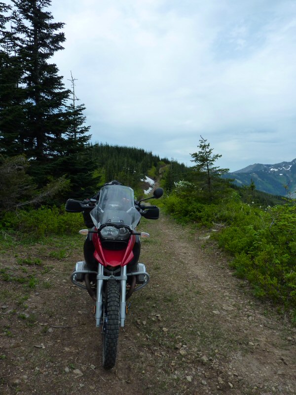
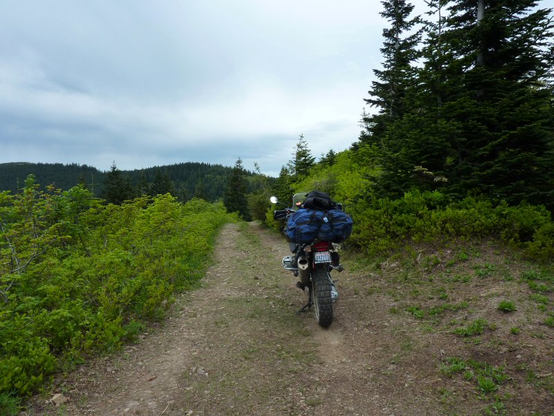
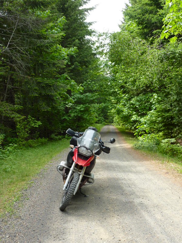
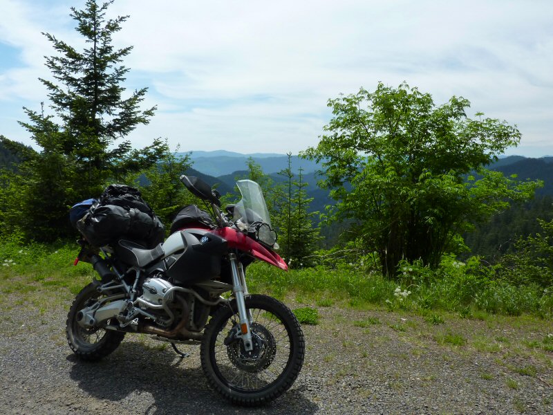
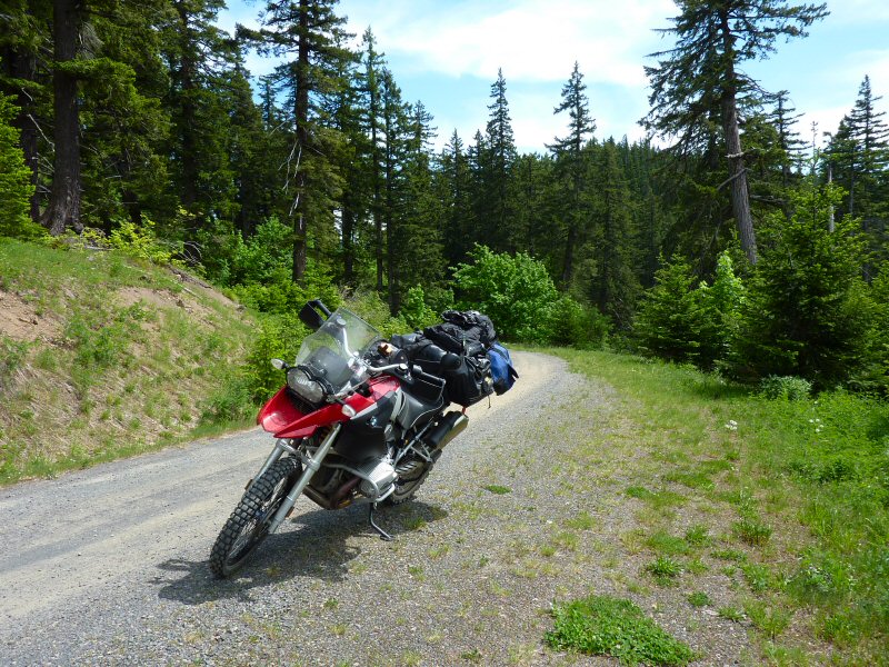
There was a detour on FR 43, that took me north to FR 54, which eventually turns to pavement and then into the hamlet of Stabler/Hemlock on the Wind River Highway. I decided to run down into Carson to refuel and eat. After lunch, I headed back north on the Wind River Highway for a few miles, and then turned east on Bear Creek Road which turns into Forest Road 6808.
As I was riding on FR 6808, a medium sized black bear crossed the road about 30 yards in front of me. Just before reaching Triangle Pass, I stopped for another view of Mt. Hood to the south.
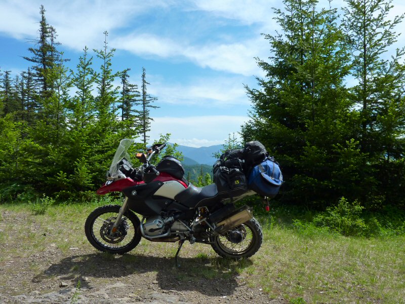
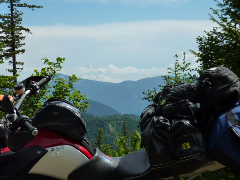
At Triangle Pass, I turned north onto FR 68, which winds through the forest and eventually meets up with Panther Creek Road (FR 65). I headed back to the Wind River Highway, and turned north and headed to Paradise Creek Campground for the night.
