
North-East of Edmonton
August 5, 2007
I started this Sunday ride without really having a destination. I'd been in Calgary on business on Thursday and Friday, arriving back in Edmonton on Saturday to a very wet and rainy day. Awaking Sunday morning, the skies had cleared (although the weather reports were calling for rain later in the day); and I decided to just head out and see where I ended up.
I'm not sure why, but I started heading east on the Yellowhead (Hwy 16), and soon decided that I would take a ride through Elk River National Park. The park is only about 30 miles east of Edmonton. The park is intended to protect the wilderness of the aspen parkland, and is quite beautiful with several hills, lakes, and marshland throughout. The park is also home to both plains and wood bison, moose, elk, deer, coyotes, beaver, and over 250 species of birds.
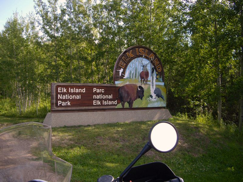
I've been through the park before, and knew that there was a short loop called the bison loop where typically you can view bison herds up close. At first, the loop (although scenic) didn't yield much in the way of bison viewing, but as I continued I came across a meadow area where several bison were lounging around.
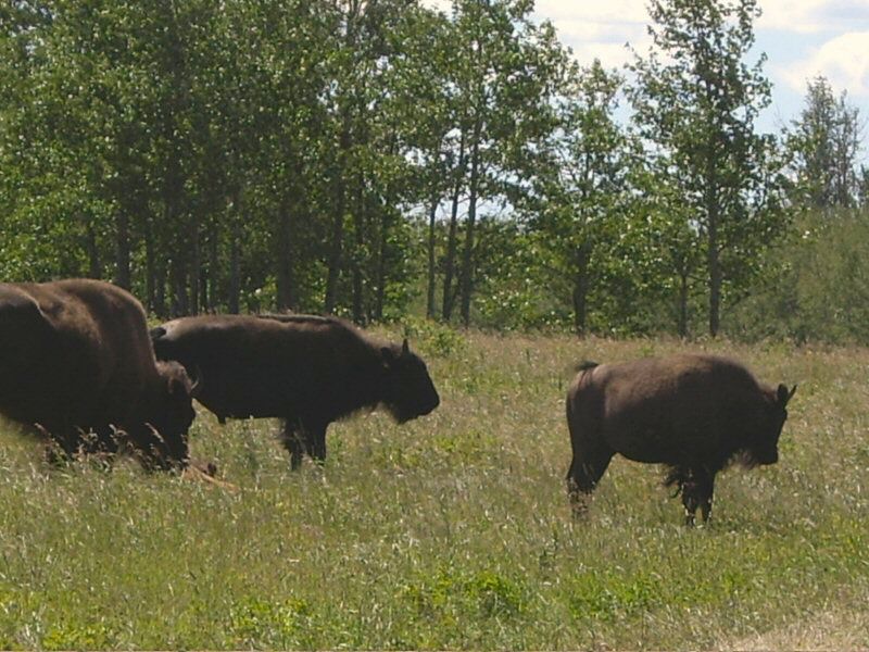
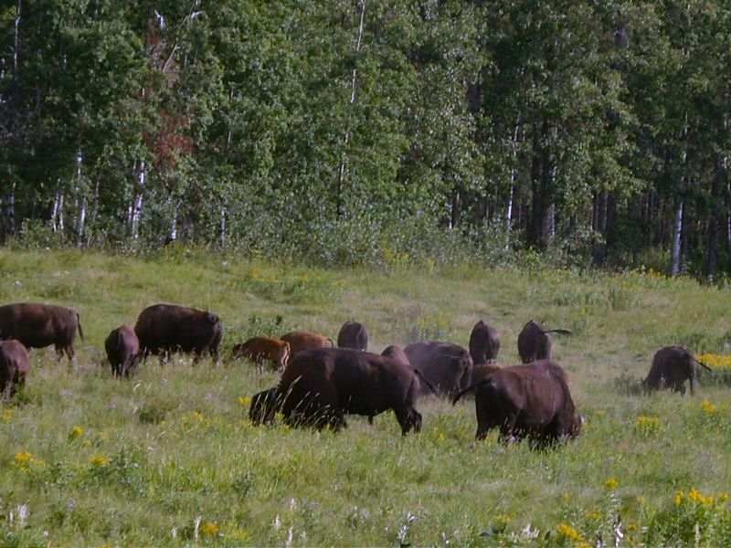
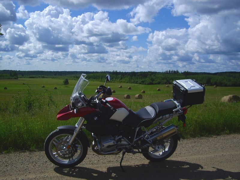
The bison pay very little attention to you, but it's cool to see them up close. I finished the short loop, and then headed north on the main road through the park. Soon, I came across a lone bison that was just ambling down the center of the road. At one point I thought about just trying to pass him, but when I got close he turned around and looked right at me (unfortunately without the camera ready) and I decided that I should just wait him out. With my red GS, I didn't want to look like a bullfighter's cape. Soon enough, he walked off to the side of the road and decided to roll around in the dirt.
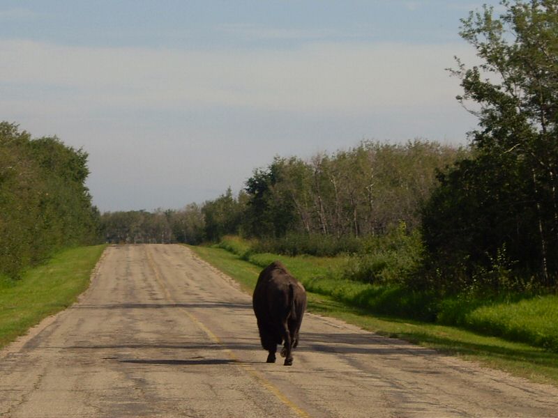
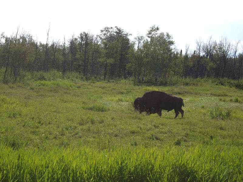
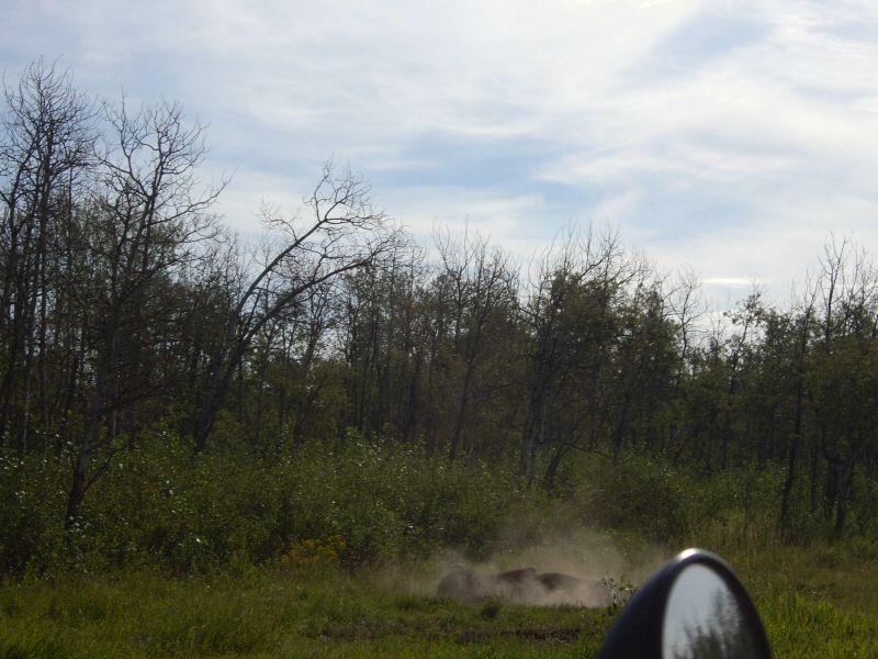
Continuing on north through the park, I took a few more pictures before exiting out the north park entrance.
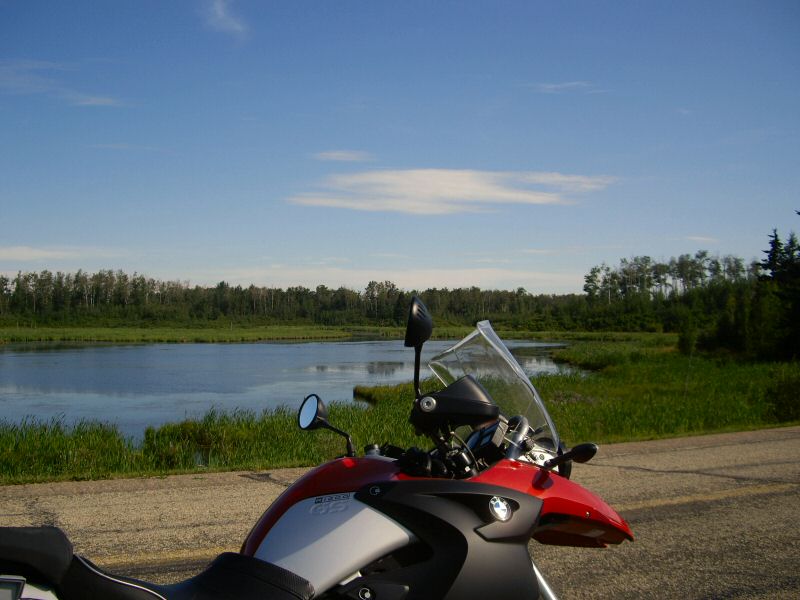
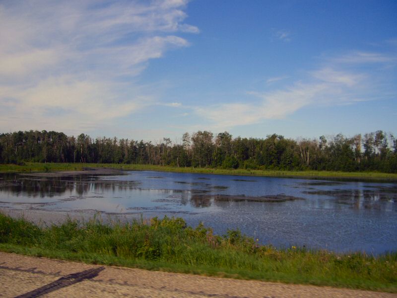
From the park, I headed north on Hwy 831. This road passes through typical Alberta prairie land.
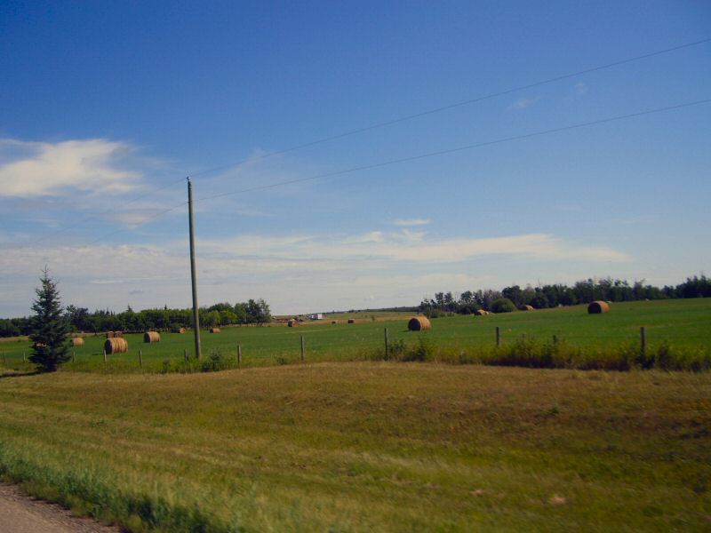
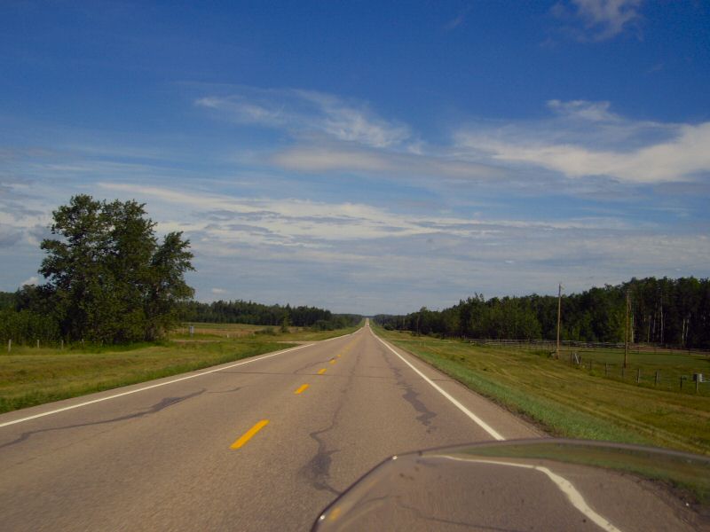
After about 70 miles, I reached the small town of Boyle and stopped for lunch at Hooters restaurant. I probably should have taken a picture, because this was certainly not the chain restaurant that everybody is familiar with - it's just a small town family diner where all the locals know everybody else in the restaurant. They served a good bacon cheeseburger with onion rings though.
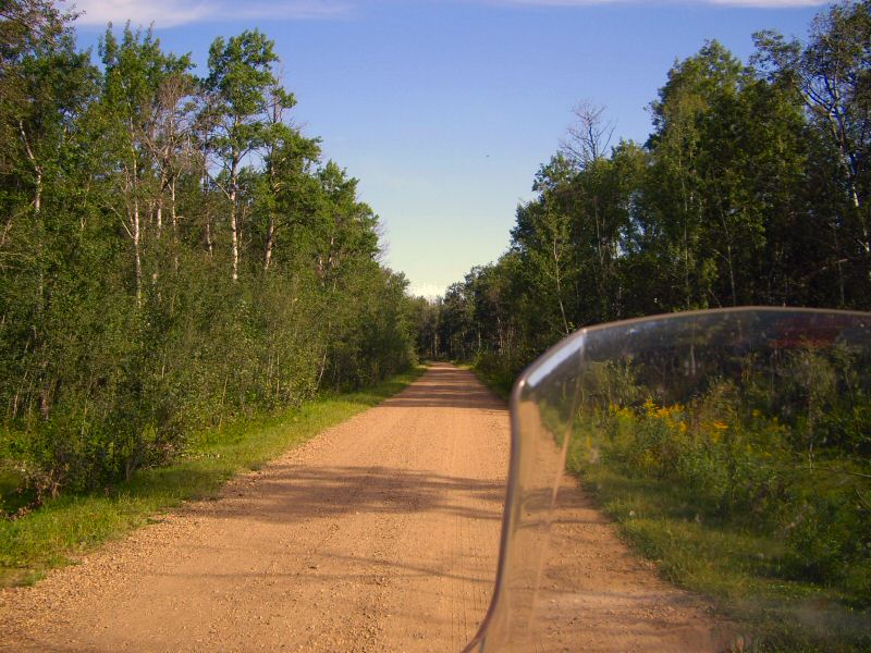
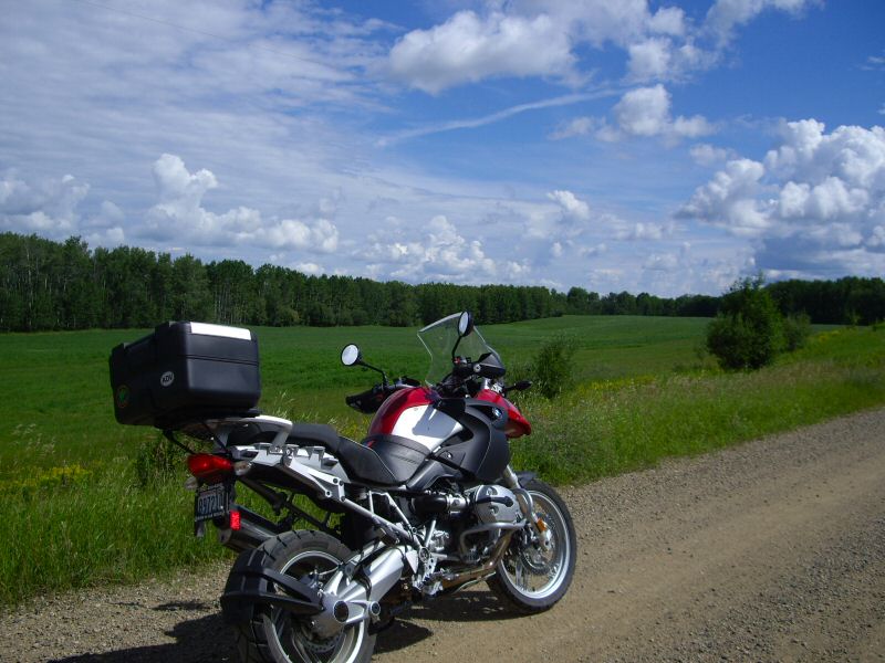
After lunch, I headed east on Hwy 663. There were several gravel roads heading off the highway, so I would occasionally take a gravel road loop, heading south, then east, then north and end up back on Hwy 663 continuing in my generally eastern direction. I'd stop ever once in a while for another picture of the Alberta countryside.
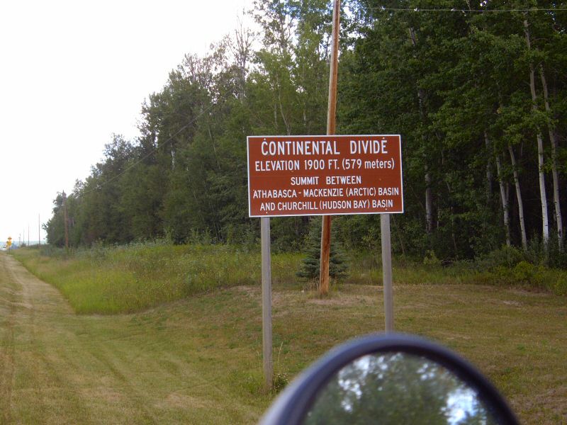
Back on Hwy 663 heading east, I came across an interesting road sign. This is not quite the Continental Divide that I'm used to.
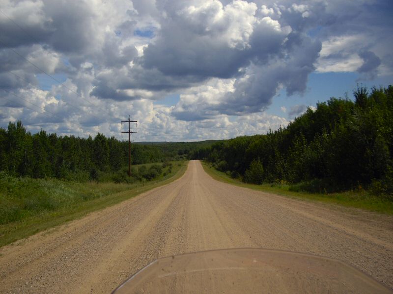
After a while, I came across the town of Lac La Biche and found some more dirt roads to explore.
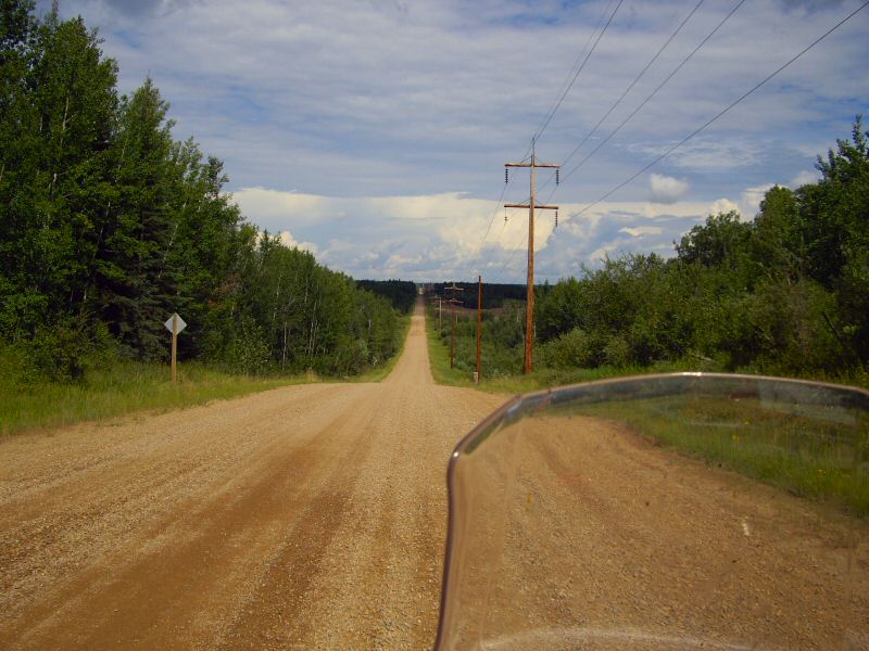
By this time, the clouds were looking more threatening all the time, so I decided to head back from whence I came. I decided to take Hwy 663 back to Boyle where I stopped for gas. As I was filling up, the clouds were looking very ominous, especially towards the west where I was heading. There was a Burger Bar next to the gas station and I decided to go ahead and put my rain pants on inside.
I no sooner had my rain pants halfway on, when the heavens let loose with a pretty strong downpour mixed with hail. My timing couldn't have worked any better. I waited the storm out inside the Burger Bar - it only lasted about 10 minutes. Then I continued heading east on Hwy 663, south on Hwy 63, and then south and east on Hwy 28, and back to Edmonton. I hit a few small showers on the way back, but missed the large downpours that I could see happening in every direction in localized areas.
I ended up riding about 350 enjoyable miles in the area north-east of Edmonton.
