
White Mountain Research Station Ride
July 28 - August 2, 2009
Another ride south to meet with a bunch of the California inmates of the Adventure Rider Forum at the edge of the Sierra Mountains near Mammoth Mountain. The White Mountain Research Station has an open house every year on the first Sunday in August, and its become somewhat of an annual tradition for many of the California adventure riders to meet for a few days of riding around the Mammoth area, and then head to the White Mountain Research Station (+12,000 feet elevation) on Sunday.
Tuesday - July 28 - Getting There - Day 1
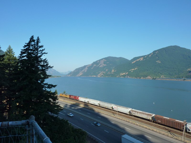
I left on Tuesday, July 28 to travel south. It would take me two days to reach the McGee Creek Lodge where I planned to stay in the Mammoth area. I headed East on Hwy 14 from Camas, and crossed the Columbia River at the Bridge of the Gods. I decided to stop at an overlook to get a view and a few pics of the Columbia River.
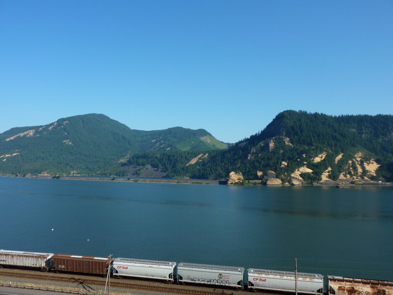
I continued East on Hwy 84, riding beside the Columbia River, until reaching Hood River. Then, I turned south on Hwy 35 and was able to enjoy the views of Mt. Hood.
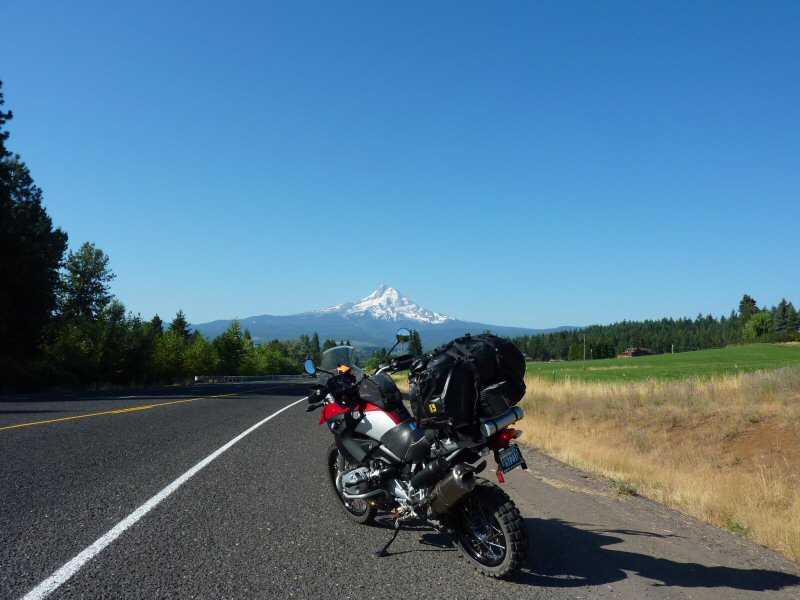
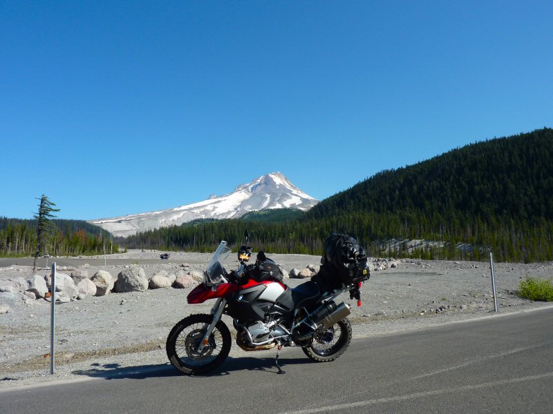
I was trying to make time traveling south, so I didn't stop for many pictures. After passing by Mt. Hood, I took Hwy 26 East to Madras, and then Hwy 97 South. I passed through Redmond and Bend, and then stopped in La Pine for a late breakfast.
Just south of La Pine, I turned east on Hwy 31. At Valley Falls, I hit Hwy 395 and turned south. About 5 miles after passing into California, I turned east on Hwy 9 to go over Fandango Pass, which crosses the Warner Mountain range.
The road turned to gravel as it rose towards the Fandango Pass, which is a part of the historic Lassen Trail (used by settlers in the mid 1800's).
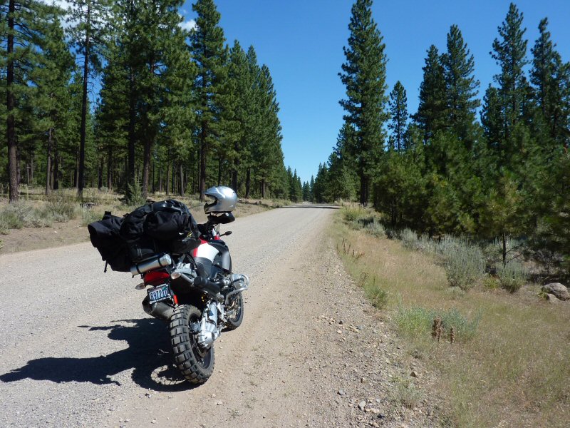
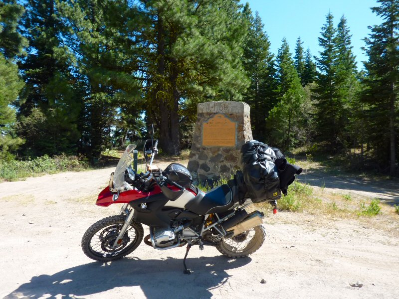
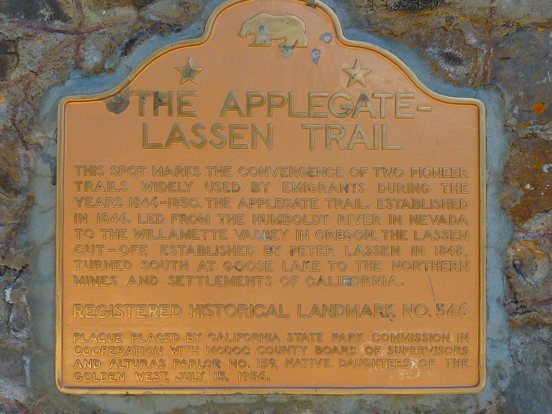
Just after crossing the pass, you get a view of Upper Alkali Lake.
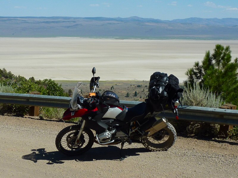
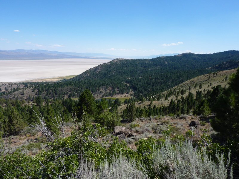
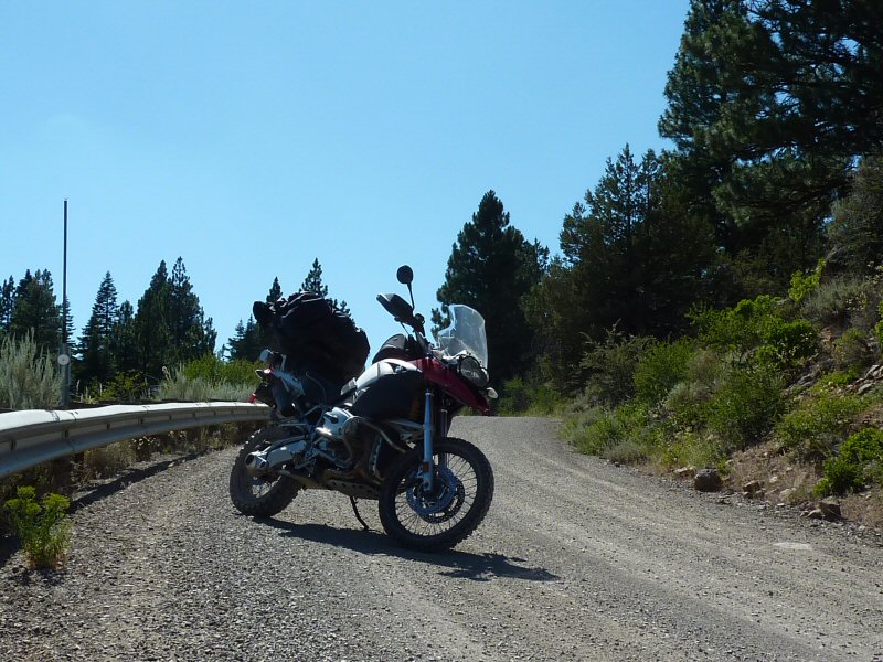
There are several switchbacks on the way down, but it's an easy ride. I reached Surprise Valley Road, and headed south to Cedarville to stop for the night. Cedarville is not much - basically a one stop sign town - but I had a great meal at a little diner in town.
Wednesday - July 29 - Getting There - Day 2
The next morning, I continued south on Surprise Valley Road, which eventually turns into the Gerlach-Cedarville Road as it crosses into Nevada. Early in the morning, there is absolutely no traffic at all and I stop a couple of times for some pictures of the long and lonely highway.
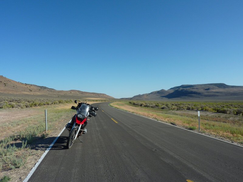
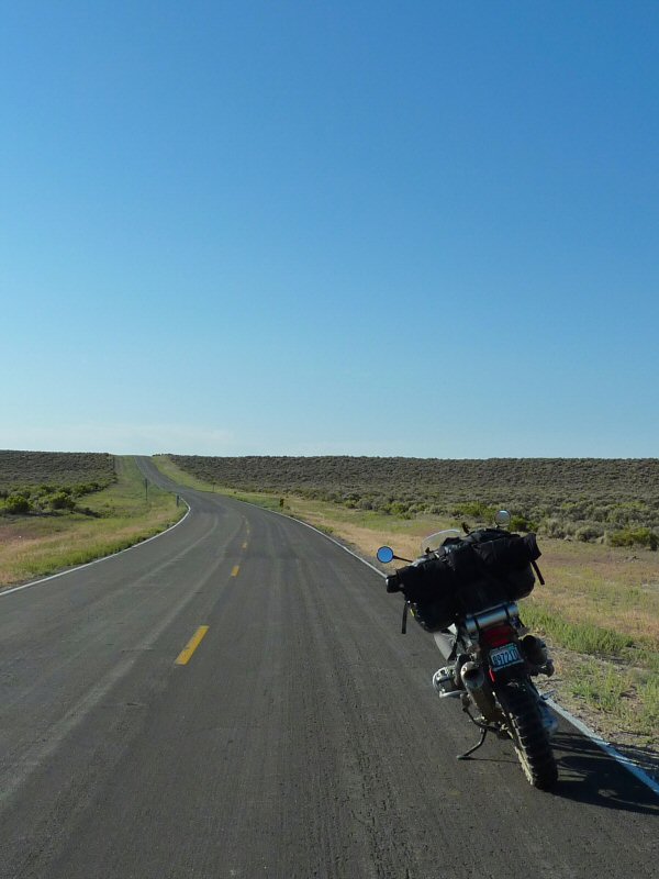
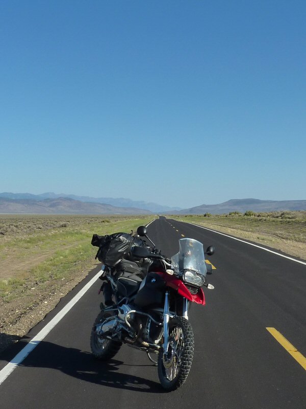
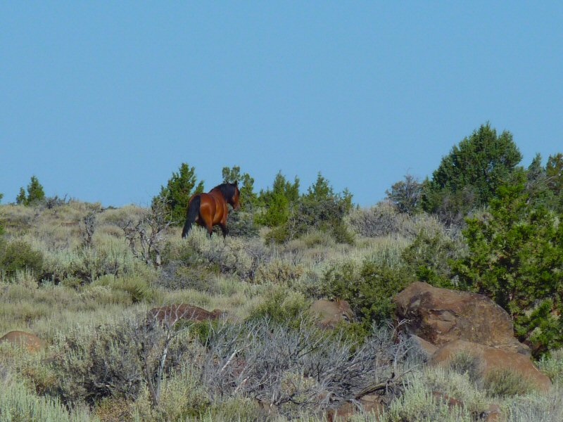
After several miles, I decide to take the Buckhorn Backcountry Byway heading west to cross back towards Hwy 395. The Buckhorn Byway is just a desolate dirt road crossing the desert and the Cottonwood Mountains. At one point, I run into a small group of loose horses (that scattered before I could get a good picture of them).
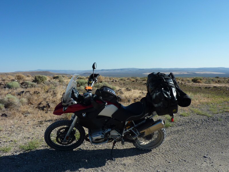
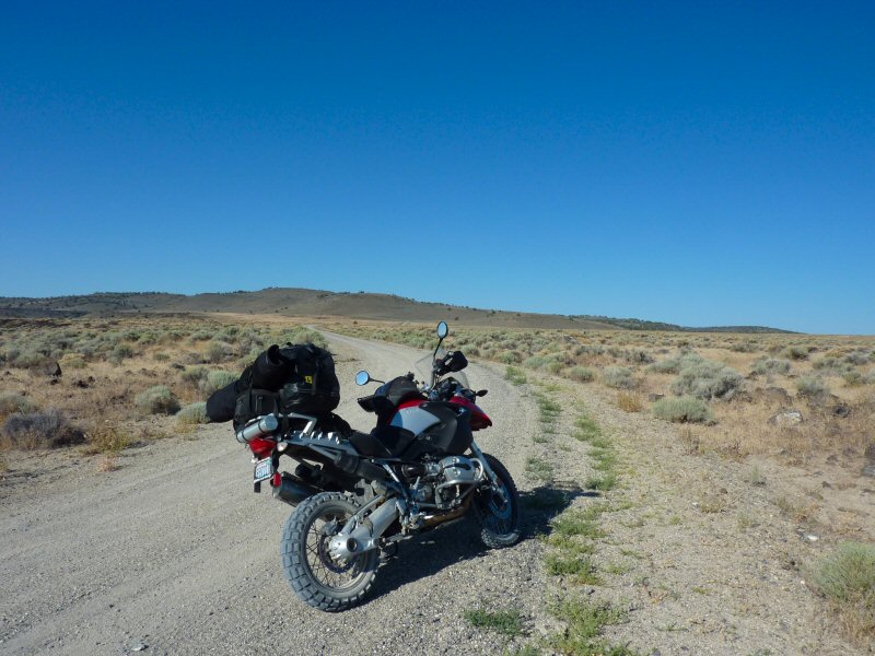
After my short morning ride in the dirt, it was all pavement south on 395 for the rest of the day. I put up with the traffic in Reno and Carson City, but otherwise traffic on Hwy 395 wasn't too bad.
Eventually, I got a glimpse of Mono Lake and knew that I was getting close to my destination for the day.
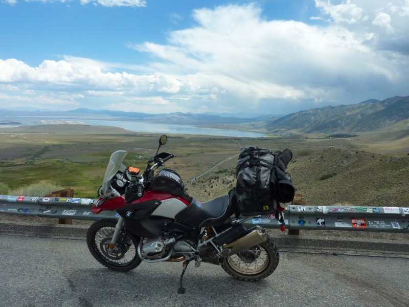
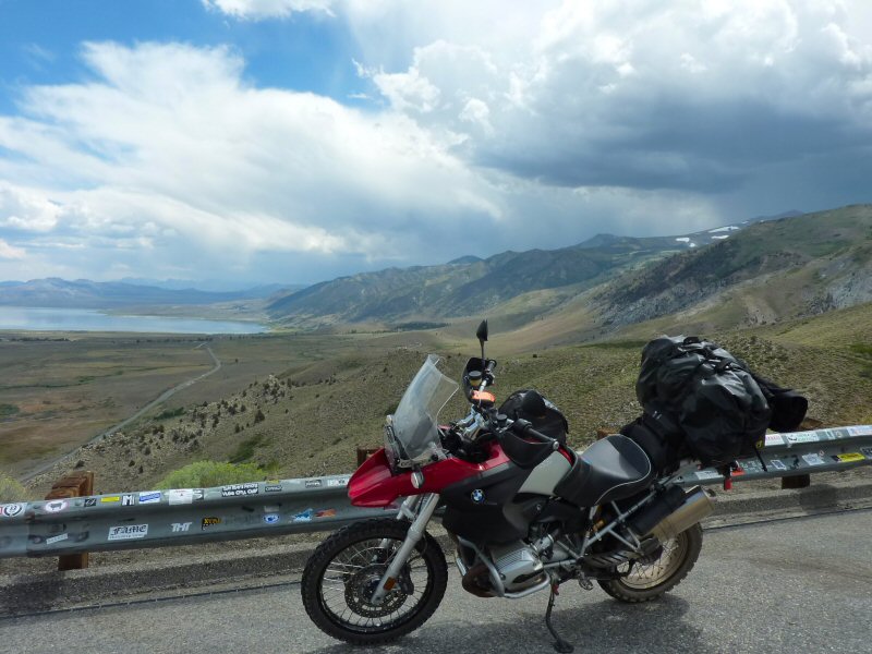
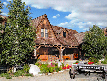
I passed by June Lake and Mammoth Lake, and soon was at the McGee Creek Lodge which would be my bivouac for the next few days.
Getting There Yosemite WMRS Day 1 WMRS Day 2 WMRS Day 3
