
More of the Washougal River Road Area
I had a couple of afternoons in July where I continued to explore some of the forest service roads in the hills above Washougal, WA.
July 9, 2008
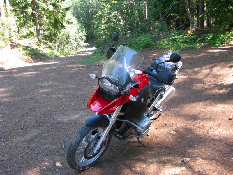
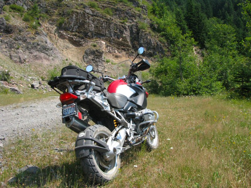
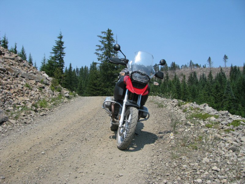
On this ride, I took a road (heading west) that a sign said to led towards the Upper Washougal River. After just a few miles, I was stopped by a rock slide that covered the road.
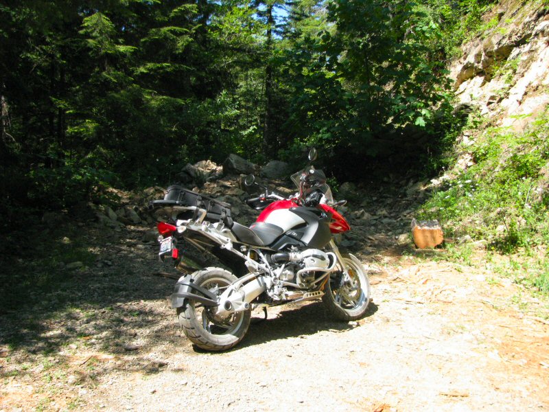
Had I been with a few other riders, it may have been possible to walk the bike across and continue further up this road, but I didn't want to take the chance by myself. So I stopped for a short break, drank a bottle of water, and took a few more pics.
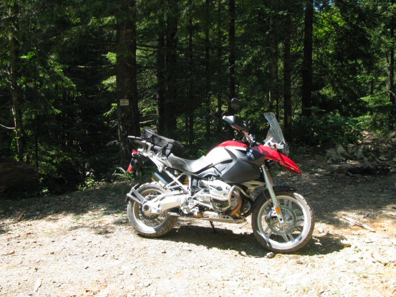
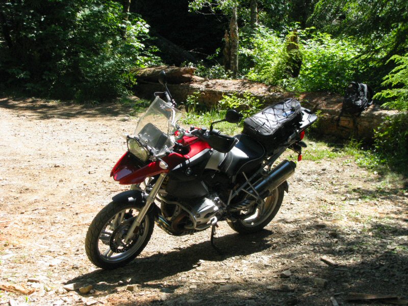
From here, I reversed direction and then took another road heading towards the east.
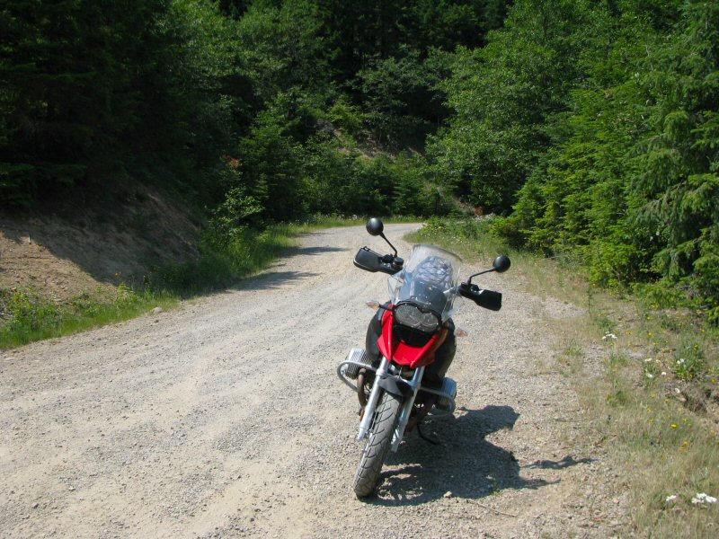
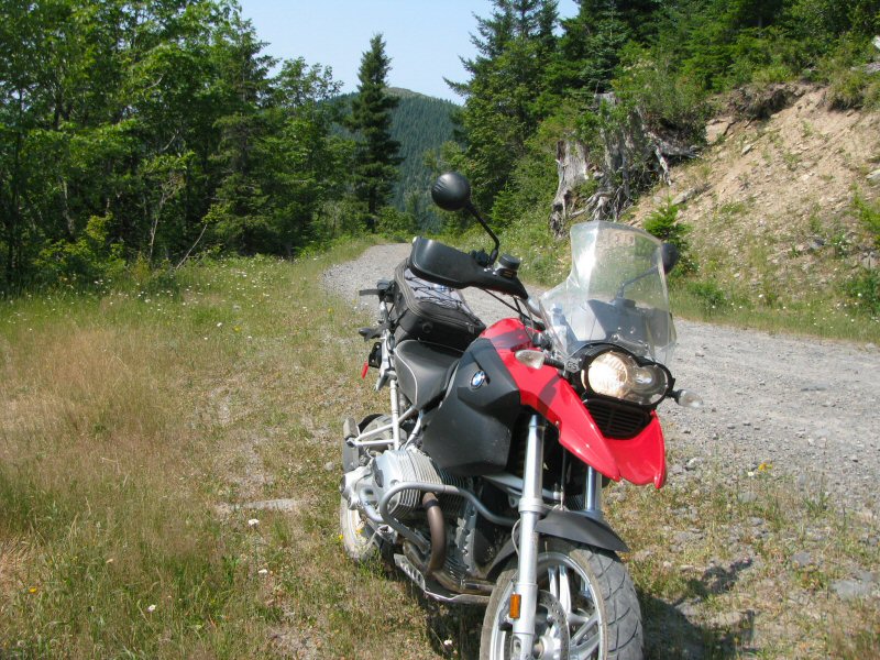
The road started out as a wide and maintained dirt road; then I came to areas that were pretty overgrown with brush, but it was fun riding through the bushes and trees covering the road.
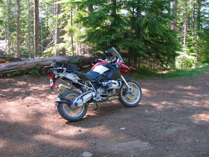
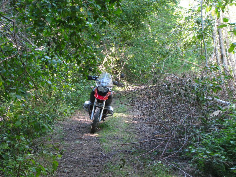
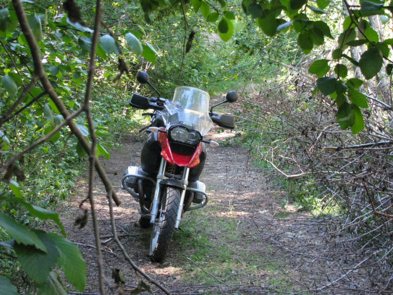
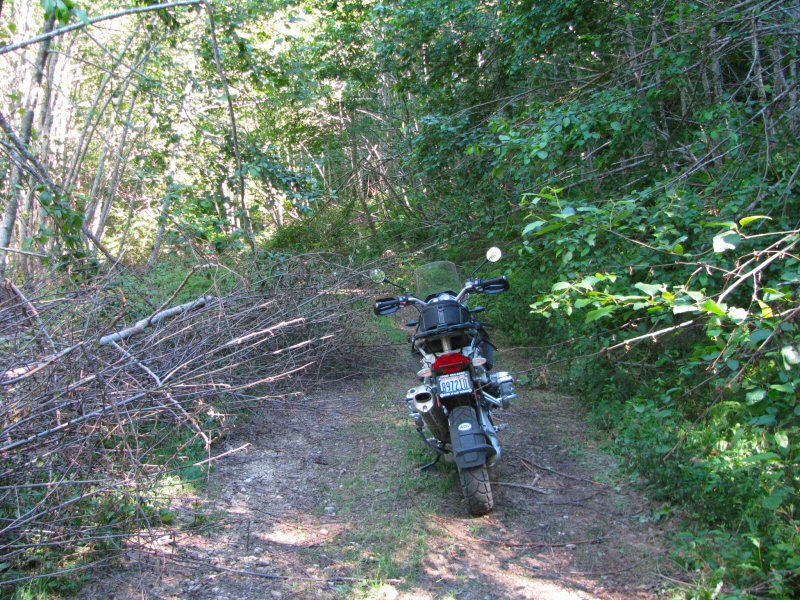
Eventually I hit another dead end, where the road had washed out and made the way impassable again.
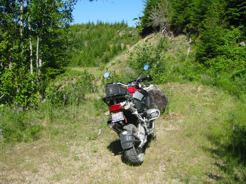
It's hard to tell from the picture above, but just past the little knoll behind the dead log is a ravine about 8 feet deep caused by a washout.
It was another great afternoon ride.
July 21, 2008
Another chance to ride in the Washougal Hills, and I found more new roads to explore.
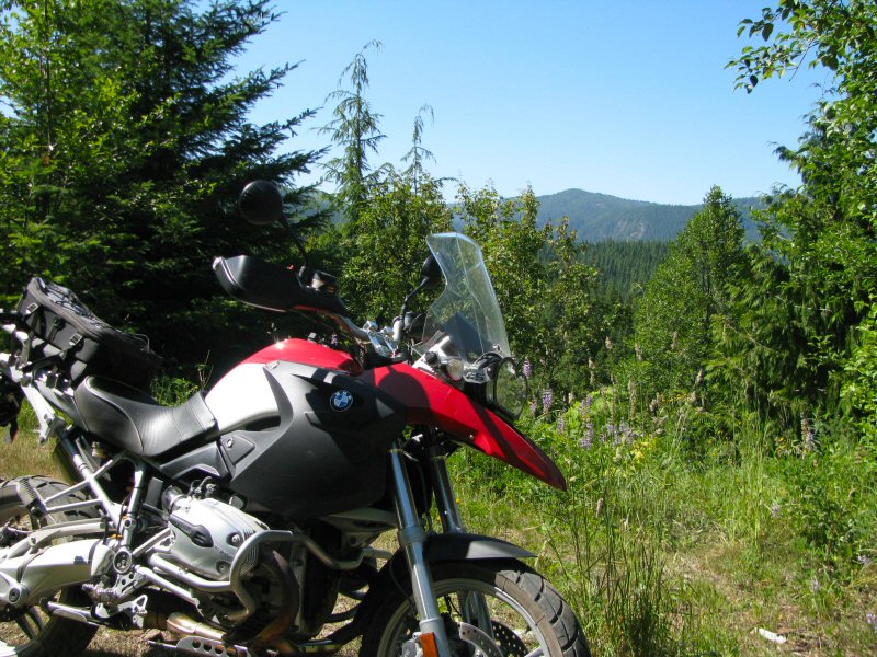
I enjoyed a great sunny afternoon with some beautiful views.
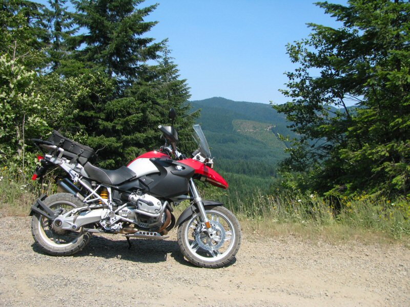
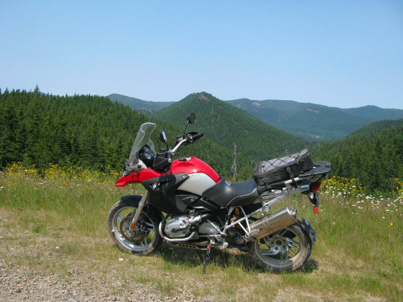
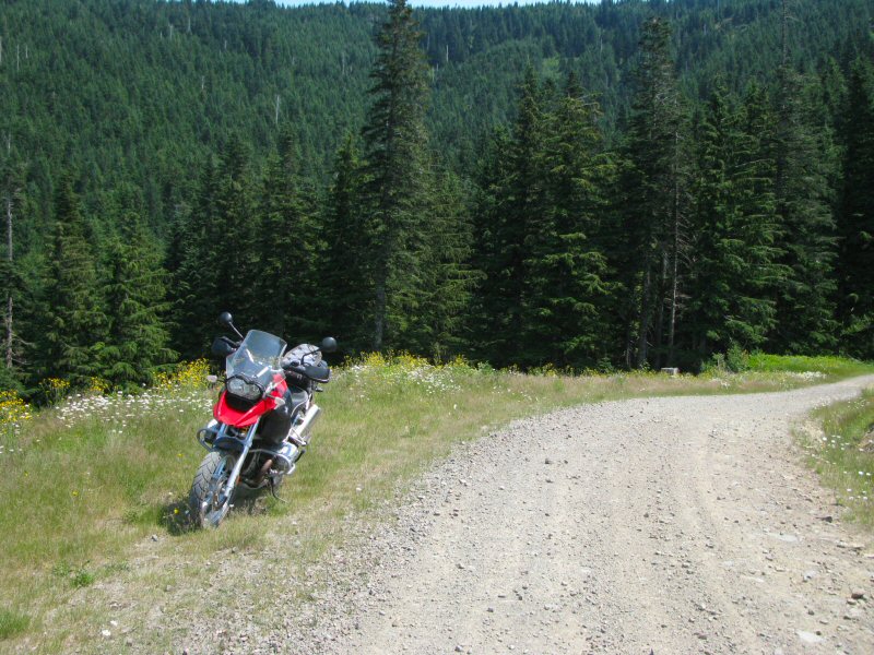
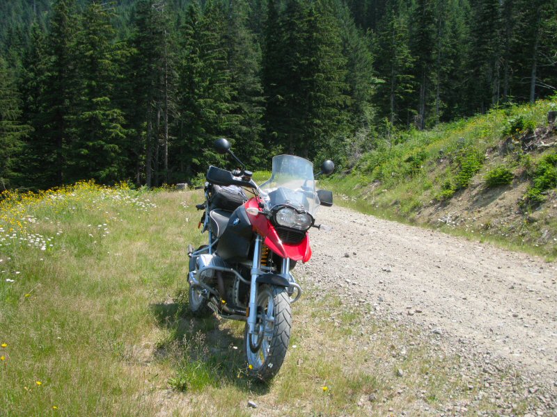
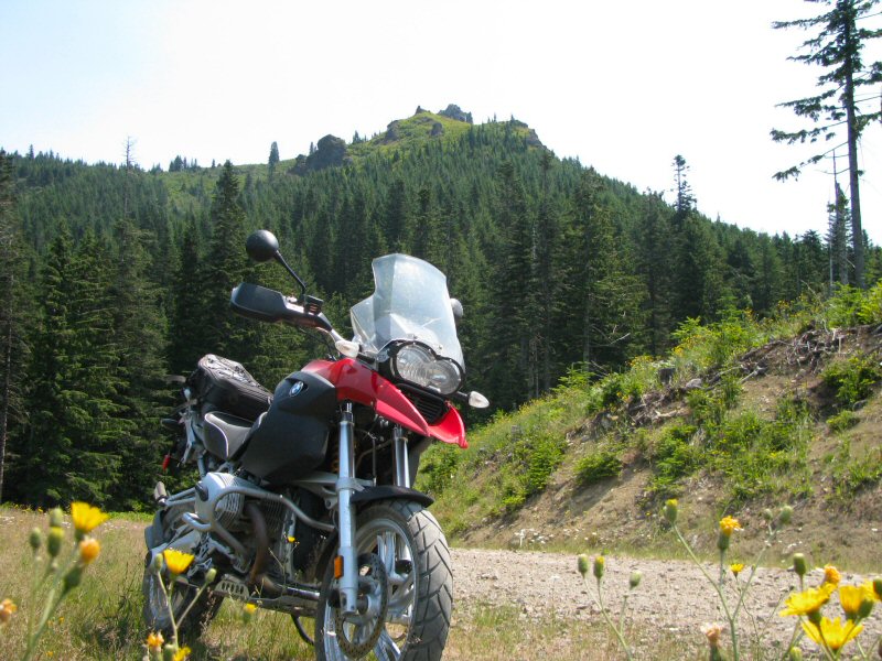
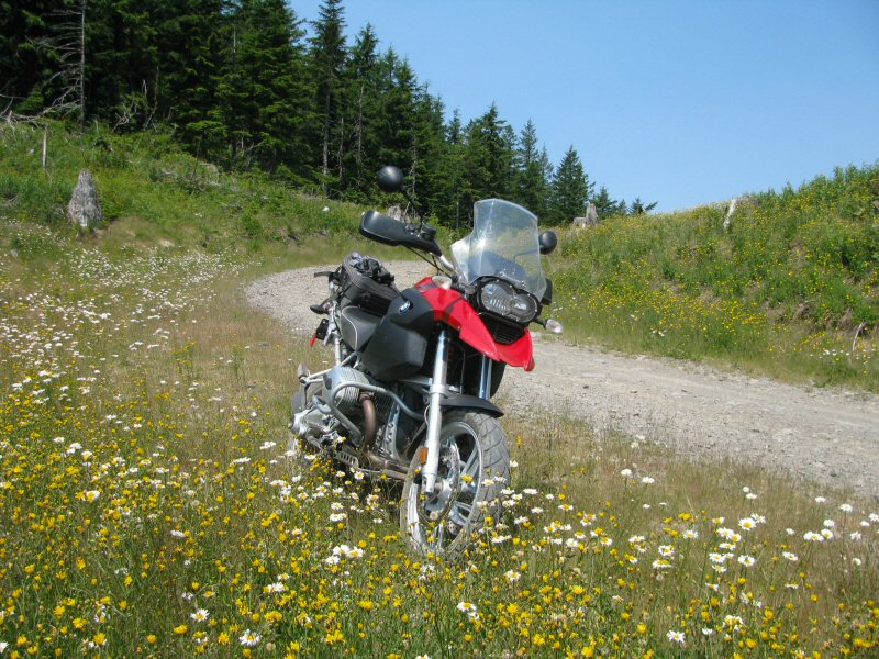
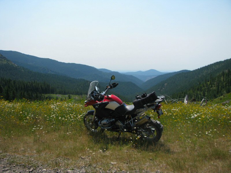
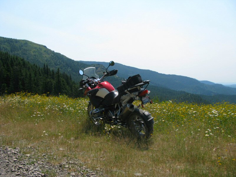
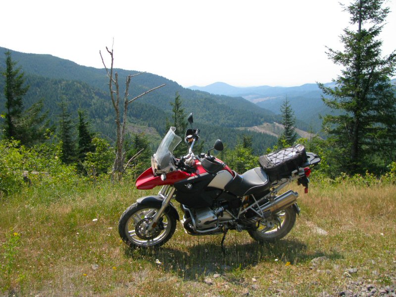
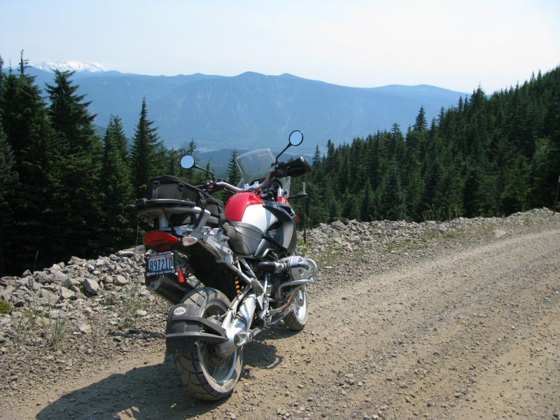
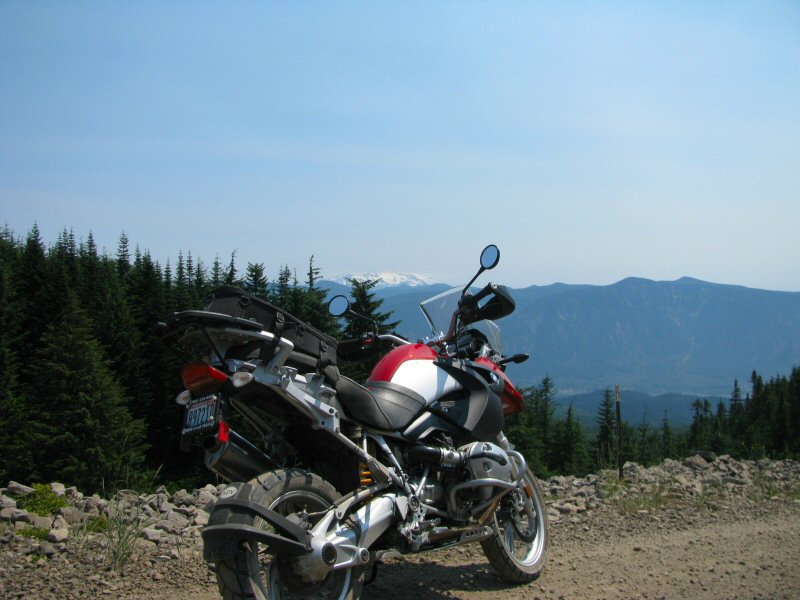
In the next pics, you can see the Columbia River in the background and a portion of Mt. Hood. Unfortunately, the top portion of Mt. Hood is covered by the haze of the wildfires in Oregon and California that were raging at the time.
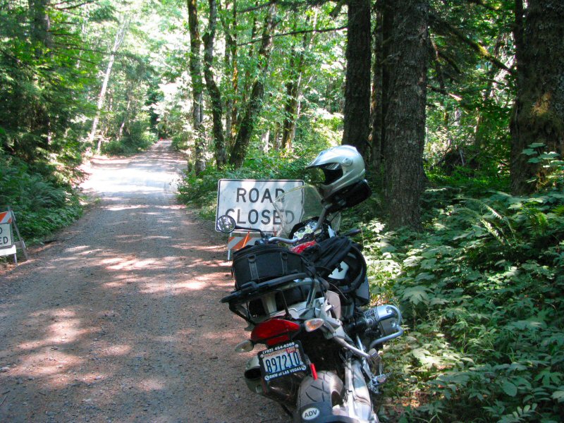
I ended up coming to this sign saying the road was closed. Not knowing what was ahead, I ended up turning around here.
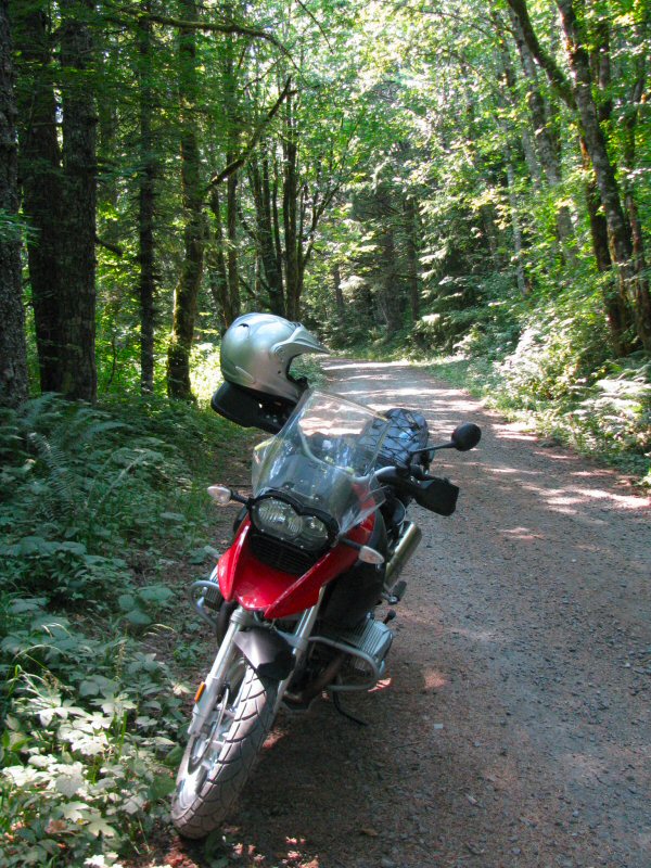
One more great afternoon ride, and I never did see another person once I was into the hills.
