
To Hell and Back
April 16-19, 2009
I had four days to go for a ride, and decided to just head east from Camas, WA with no particular destination in mind. Starting on a Thursday with almost perfect weather, I simply changed directions as the mood hit me, and by Saturday I was in the Hells Canyon area of northeast Oregon.
Thursday, April 16
Having destroyed my front cast wheel in my ride to Death Valley in March, I had ordered some super-trick spoke wheels from Woody's Wheel Works, and mounted them on the bike earlier in the week along with some new TKC tires. This would be my first ride with the new wheels, including the change to a 21" front so I knew I wanted to ride a variety of terrain - pavement, dirt, and gravel - to see how they performed.
I left my home in the hills north of Camas, heading east and then north on Washougal River Road. I decided to hit some dirt roads early. My plan was to take the back dirt roads and make a loop around to drop into Stevenson from the north.
Just after Dougan Falls, Washougal River Road turns to dirt as it follows the Washougal River heading north. I wasn't sure what condition the road would be in so early in the season. Parts of it were really nice, along with some occasional washed-out spots and downed tree branches covering the road. It's a beautiful area to ride.
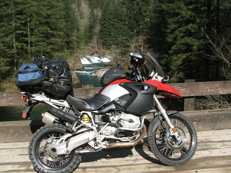
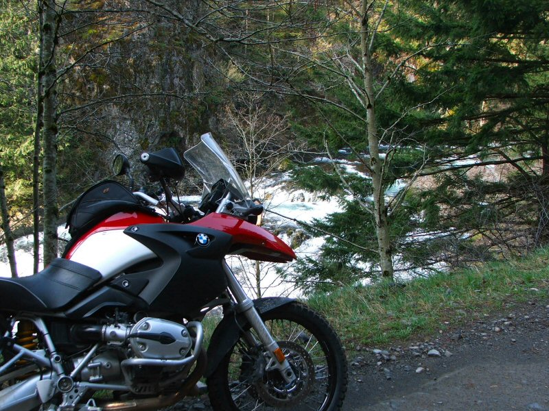
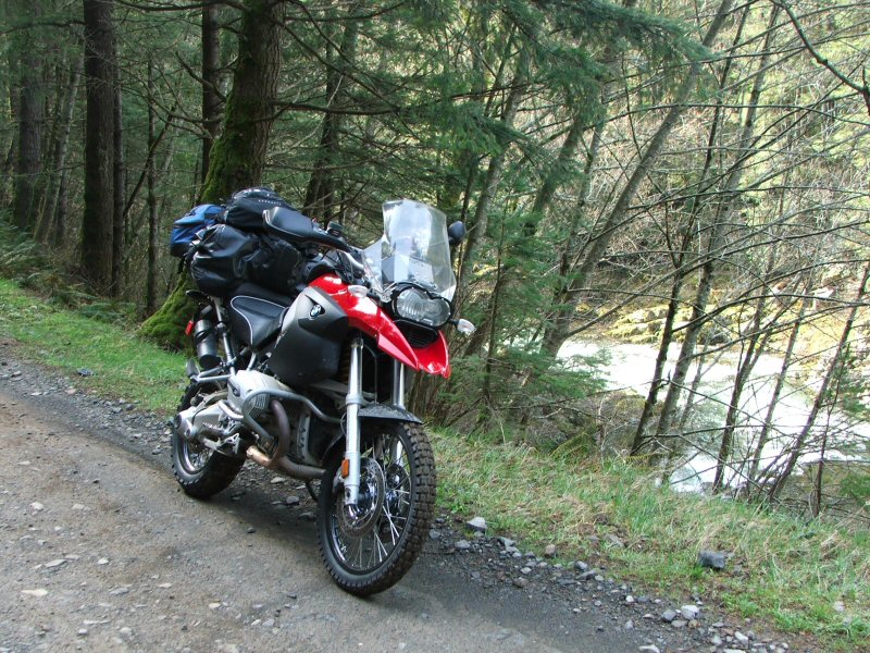

As I gained elevation, I started noticing snowy patches along the sides of the road and started wondering whether the road would be open for me to loop around towards Stevenson. Soon enough I found out.
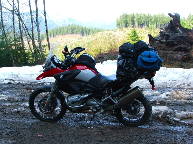
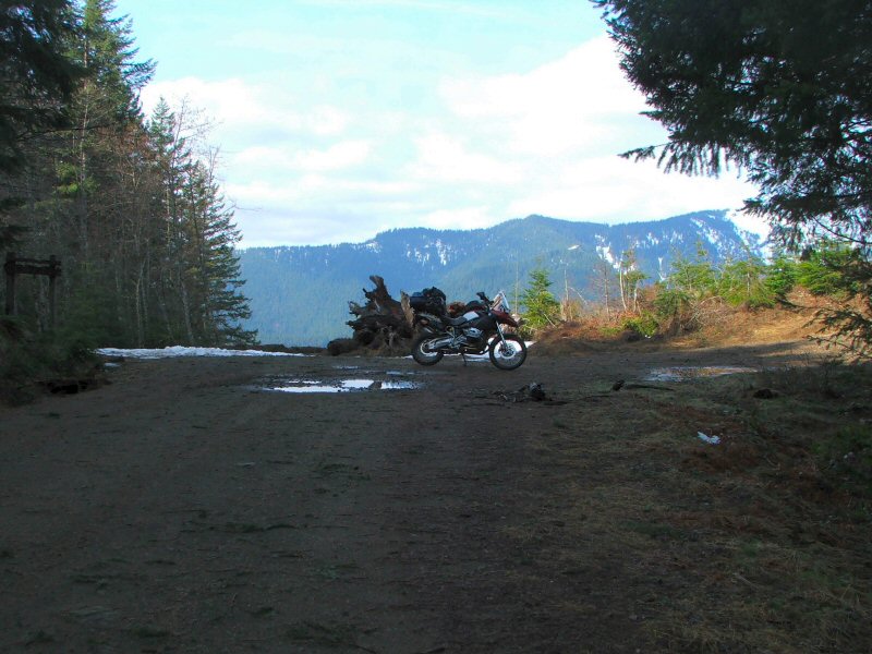
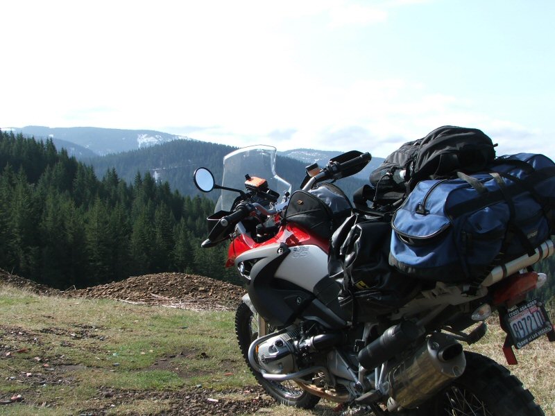
Sure enough, behind me in the photo above the road was covered by about 8" of snow. I walked a little ways up the road to check it out, but the snow was just getting deeper. Since the road continues on the northern slopes, it just wasn't getting enough sunshine yet to melt the snow. I went a little ways down another side road, and then decided to backtrack down towards Washougal.
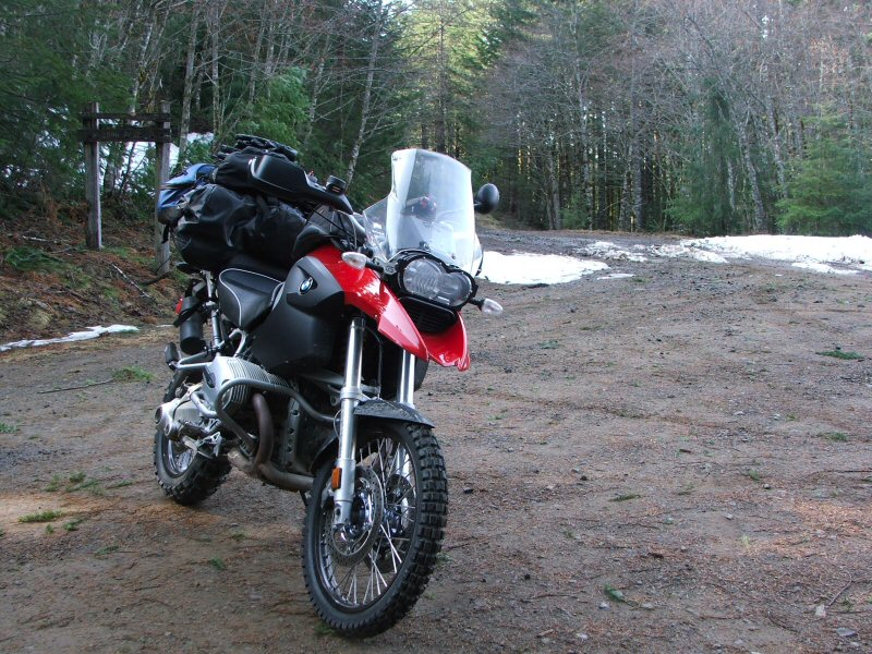
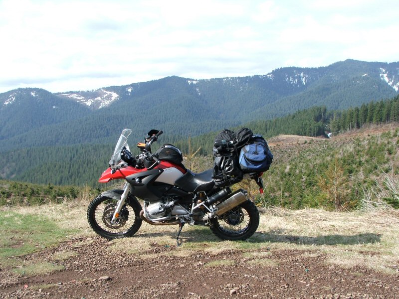
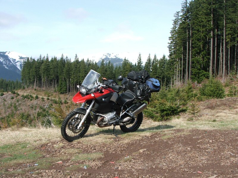
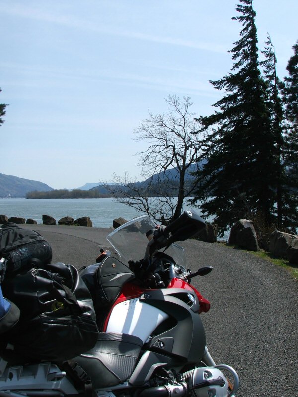
Back down in Washougal, I headed east on Hwy 14 along the Columbia River. The weather made this one of the best riding days in the Pacific Northwest all season, and I stopped a few times along Hwy 14 to take some pics.
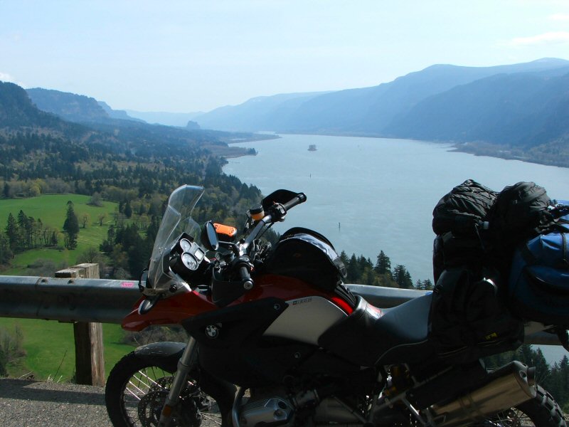
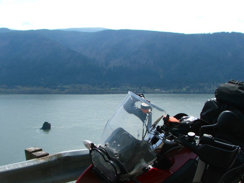
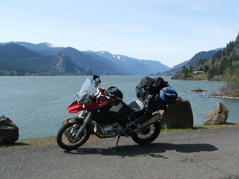
A little ways before the Hood River Bridge, I decide to take Hwy 141 north. Before too long, I'm starting to get glimpses of Mt. Adams. At over 12,000' high, it sticks out above the surrounding landscape.
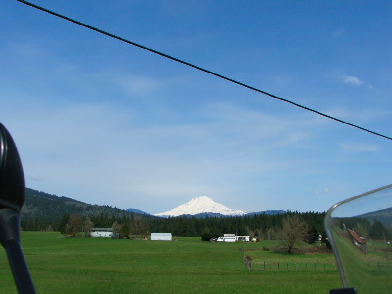
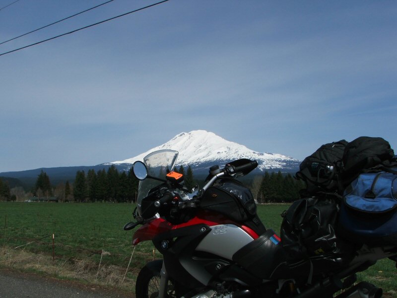
I continued north past the town on Trout Lake, and took the Mt. Adams recreation road towards Smith Butte SnoPark.
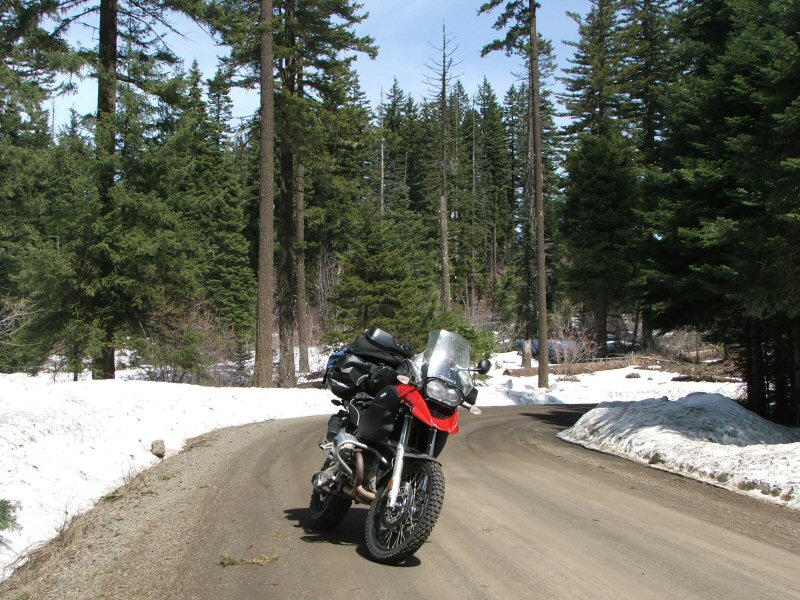
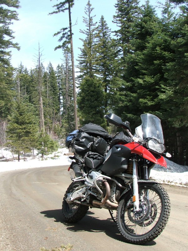
I thought I could continue on some dirt roads to loop around back northeast towards Hwy 23, but the road was only cleared to the SnoPark parking lot. From that point on, the snow was a few feet deep. Time to turn around again.
Back in Trout Lake, I decided to continue heading east on Trout Lake - Glenwood Road. There was one spot where you get a pretty good view of Mt. Adams to the north and Mt. Hood to the south.
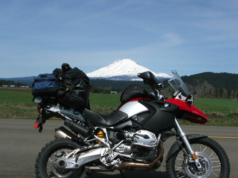
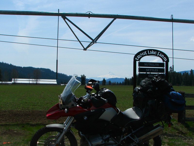
Mt. Hood appears a little washed out in the pic above, but it's there.
From Glenwood, I kept heading east on the Glenwood - Goldendale Road. Both of these last two roads are beautiful riding on a bike like the GS. I took a very short dirt road that provides access to a lookout point over the Klickitat River and another view of Mt. Adams.
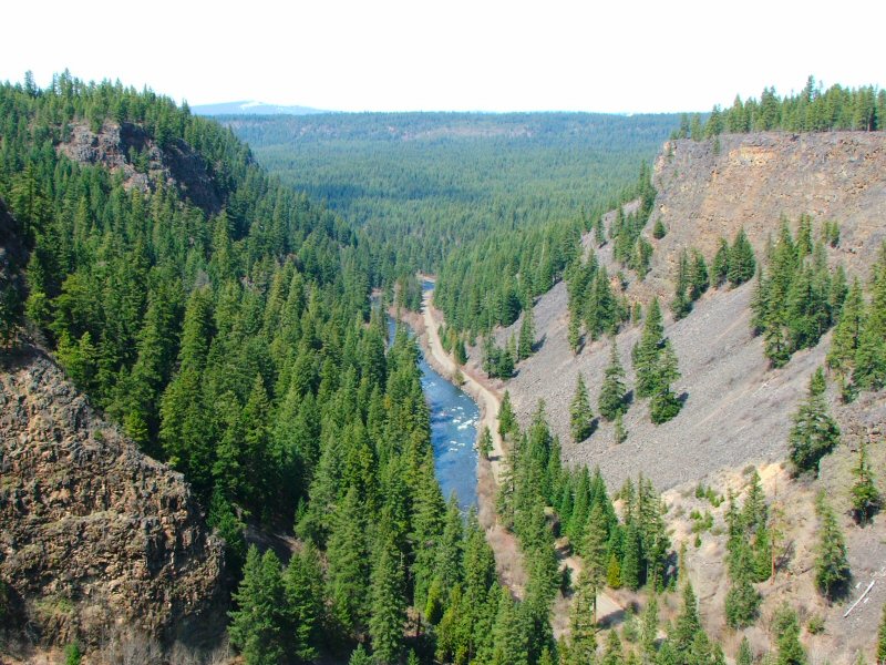
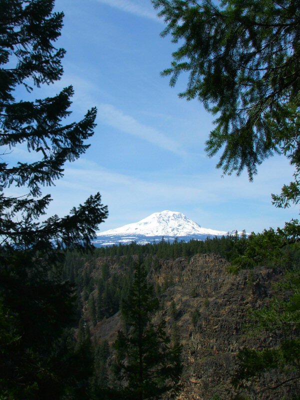
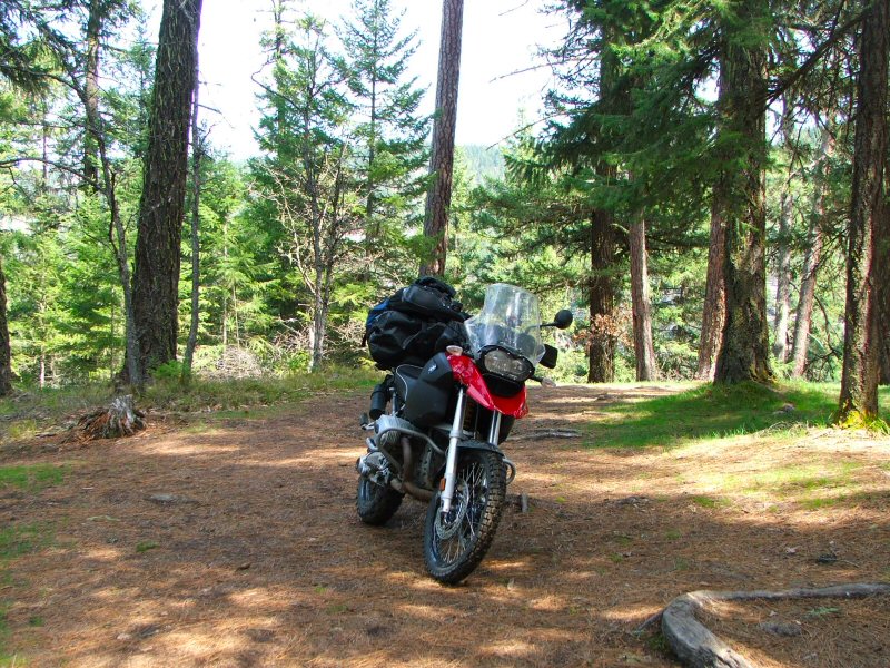
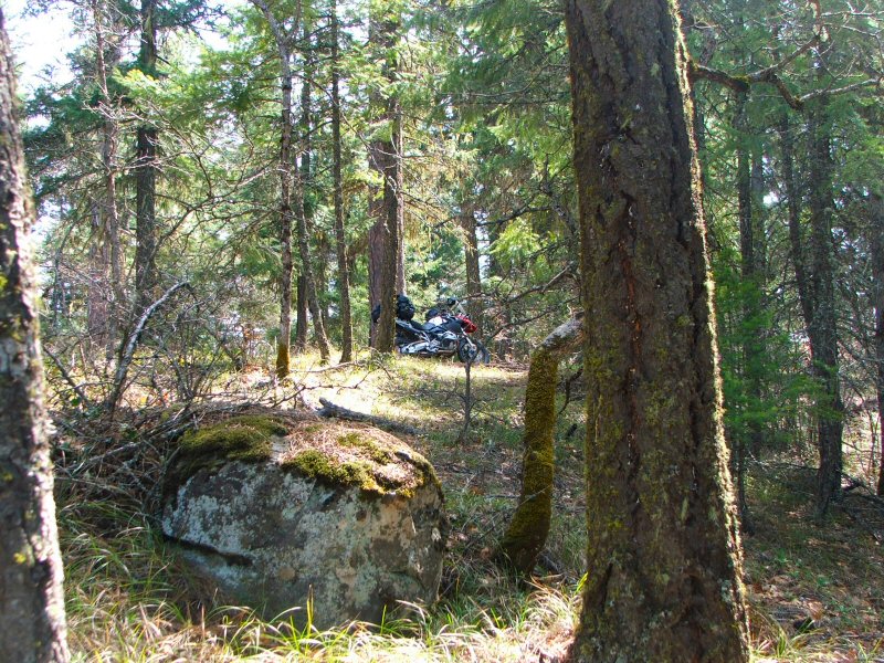
I kept riding the Glenwood - Goldendale road as it follows the Kickitat River south, before verging east to meet back up with Hwy 143 just before Goldendale.
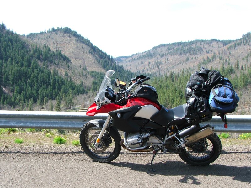
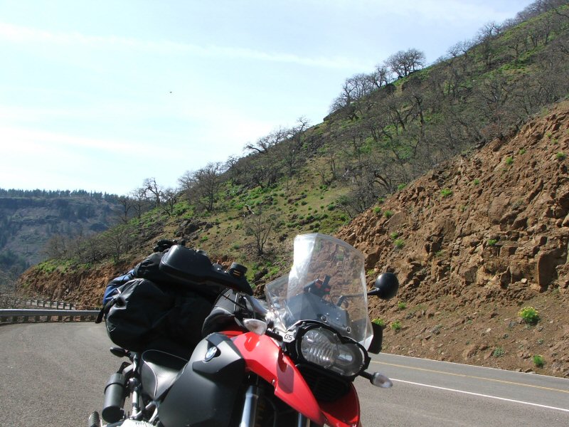
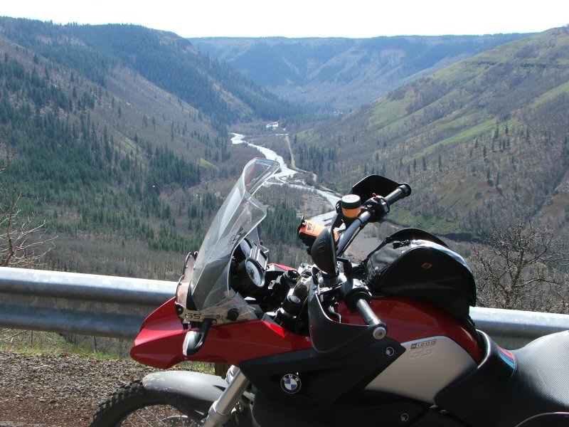
Soon, I was in Goldendale and time to fill the tank on the GS. While I was stopped, I got out the my map books to decide where to head next. For some reason, I noticed a marker on my map for the Old Oregon Trail Monument on the south side of the Columbia River, and decided that was my next destination.
From Goldendale, I headed south on Hwy 97 and crossed the mighty Columbia River. Then I veered southeast on Hwy 206, and just past Wasco I took a gravel road towards Klondike. Klondike isn't much of anything anymore - just a couple of old buildings at an intersection of gravel roads. The only thing new along this road is the windmills.
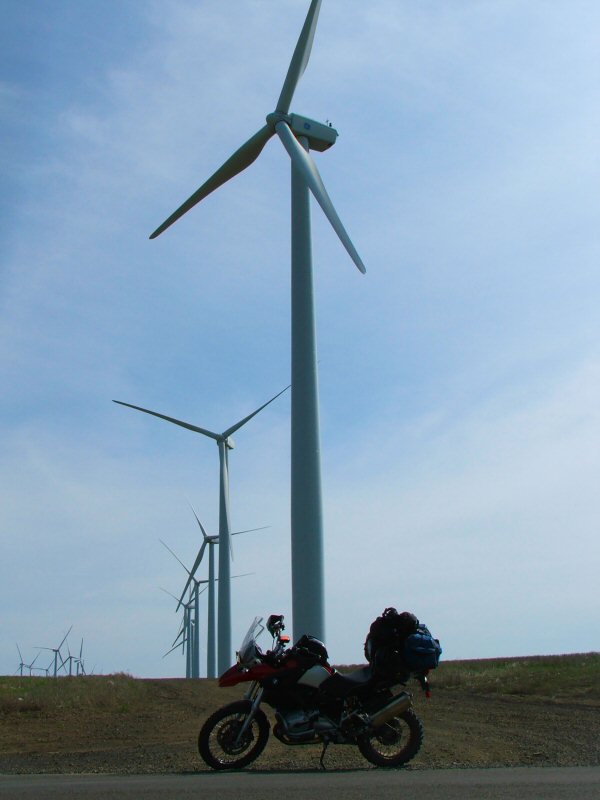
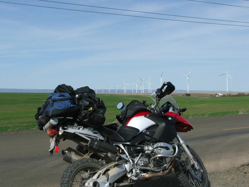
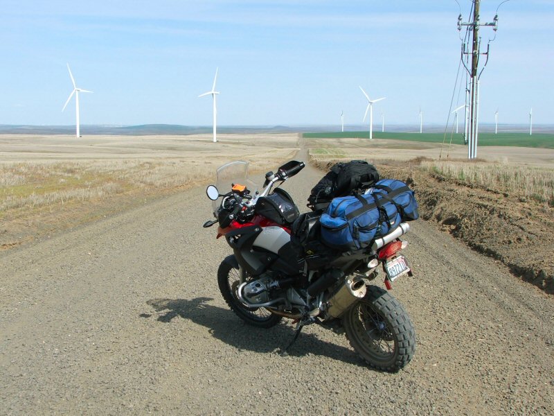
Further along this gravel road, I come across what appears to be a large rock enclosed by an old wooden fence and it seems to have a marker by it, so I stop to take a look.
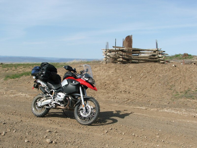
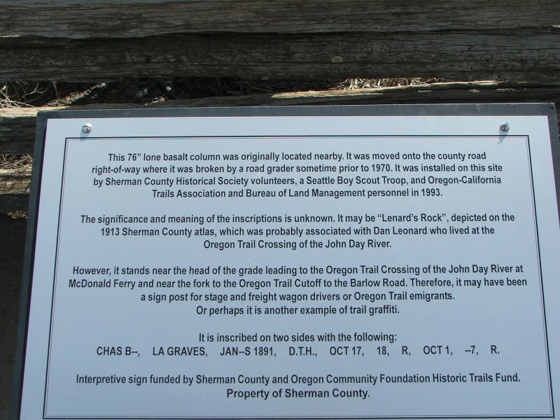

It ends up to be just a peculiar piece of history that someone felt was important.
Pretty soon, the road turns into more dirt than gravel and winds through some hills before I come across the Old Oregon Trail Monument. It marks the Oregon Trail crossing of the John Day River.
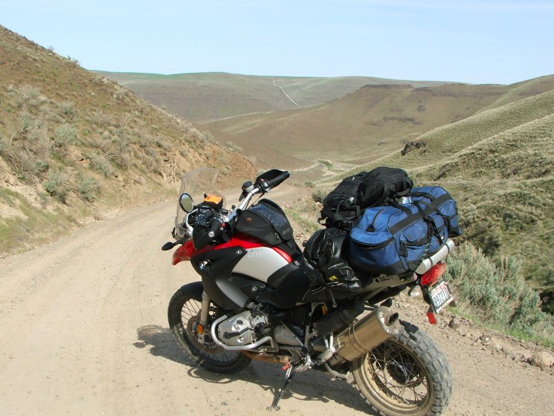
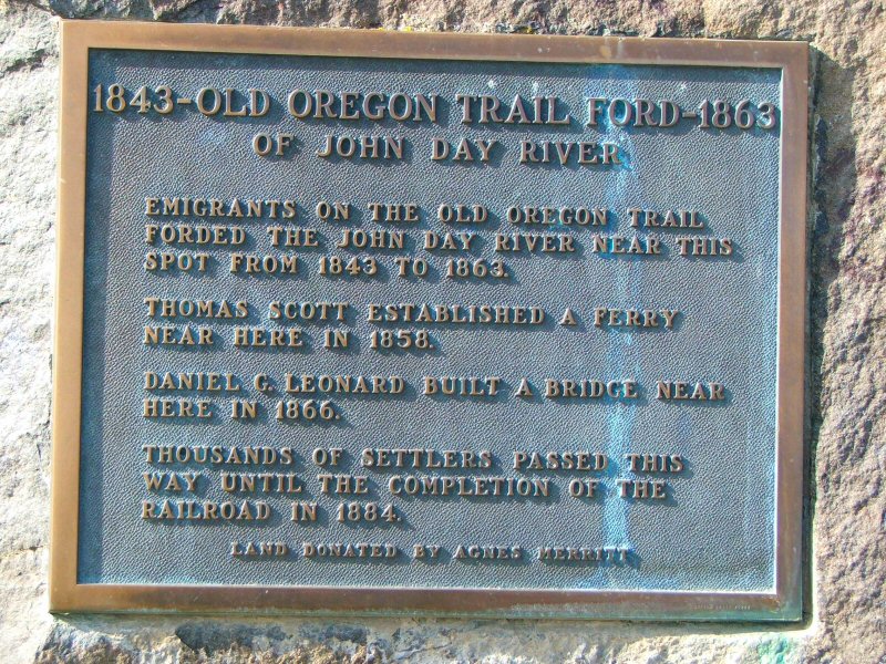

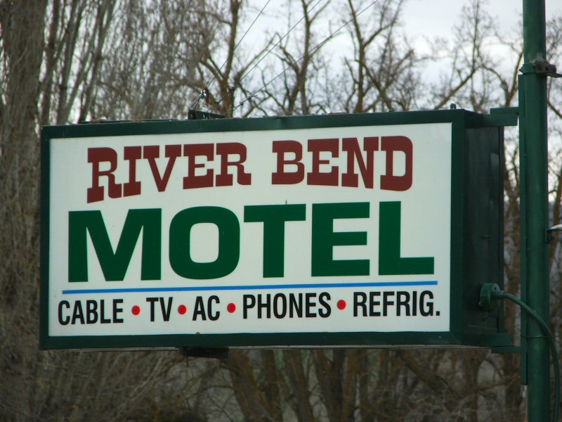
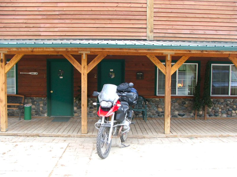
Unfortunately you can't cross the John Day River at this point any longer, so I backtracked a ways back to the intersection at Klondike, and took another gravel road south to meet back up with Hwy 206. In Condon, I veered onto Hwy 19 south to Fossil and then east to Spray where I decided to spend the night at the River Bend Hotel.
Although the weather was really nice, I think only saw a total of about 3 motorcycles during my entire day's ride. A lot of people were missing out on some great riding weather!
